Lake Hodges Overlook

Distance: 6.6 miles
Date: February 29, 2020

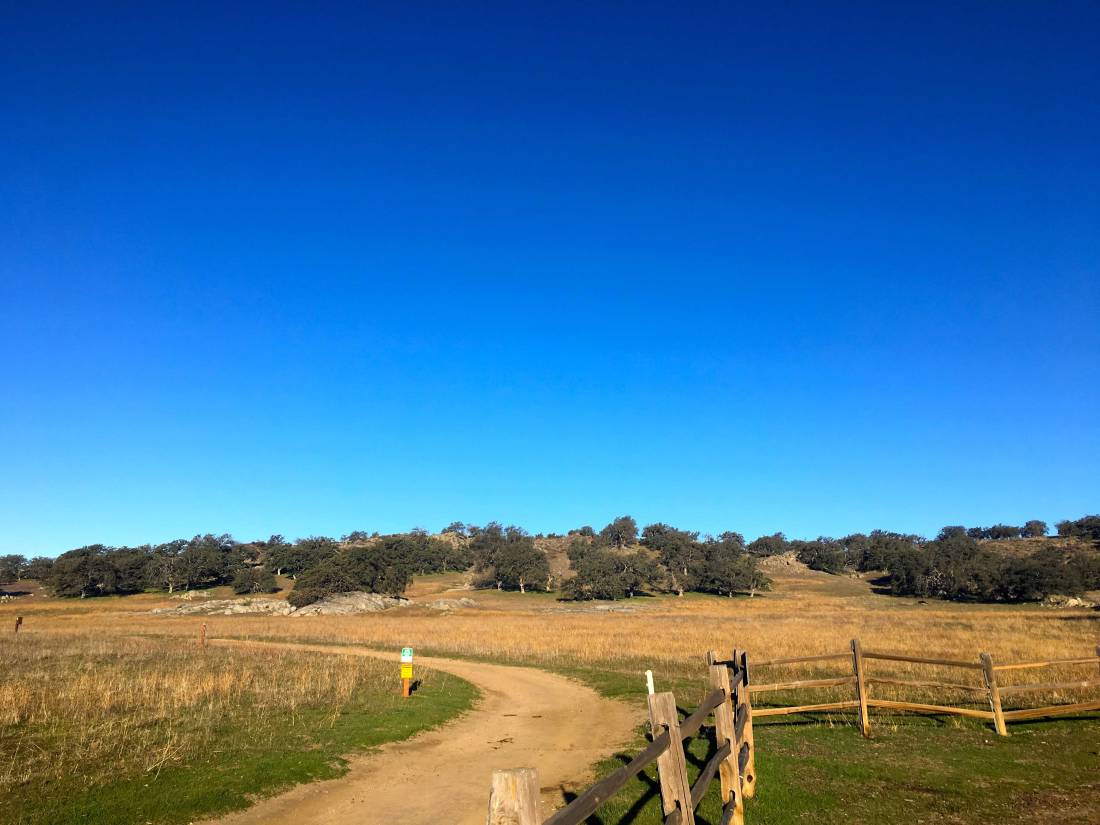
Since my hiking partner backed out of our planned hike up Volcan Benchmark, I decided to stay in town and complete the 2019-2020 Coast to Crest Challenge. My final hike was to be 6+ miles out to the Lake Hodges Overlook.

IMG_9460

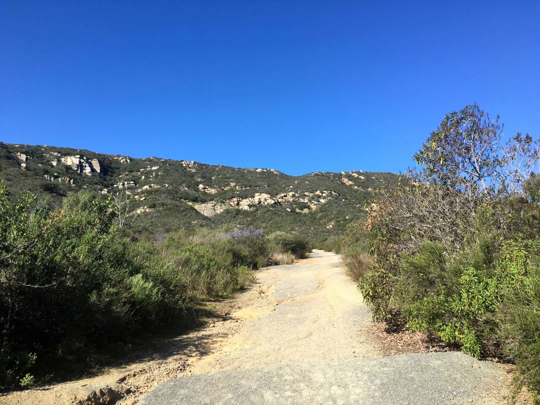
The trail begins with a good steep climb for the first mile and a quarter. One of the rewards of the climb was a nice vista of the peaks to the north and east. In fact, snow-capped San G was even visible in the distance.

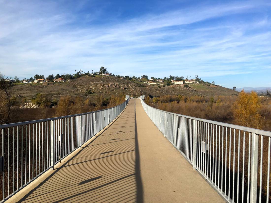
As I continued my climb, I could see the “Way-Up Trail” across the ravine. Just past the summit, I turned north and worked my way up and down toward the overlook.

IMG_9492

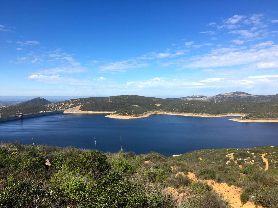
The shimmering waters of the Olivenhain reservoir stood to the west of me.

Eventually, I reached the overlook and took my required selfie. A small peak stood just a bit further to the south, so I had to go climb it. This peak is the official Lake Hodges overlook.

In fact, it had a small survey marker and a post on the summit! I snapped a few more photos and headed back. With that, my C2C Challenge was done! Can’t wait until the next one!

Santa Ysabel West Preserve

Distance: 5.8 miles
Date: February 8, 2020

Besides working on completing the Sierra Club San Diego 100 peaks list, I am also working on completing the San Dieguito’s River Foundations Coast to Crest Challenge. I knocked off three of the five hikes around New Years’. With my usual peak-bagging partners occupied, I decided to go do one of the remaining hikes, Santa Ysabel West Preserve.

IMG_8959

Dave Myron and I pulled into the empty parking lot just before 8 am. Thankfully, the gate was already open. We geared up and headed off. The entire trail is about 5.5 long and follows a lollipop pattern. This challenge requires a selfie at a particular spot along the trail, in this case near the top of the lollipop.

After a short flat section, the trail makes its first small climb. The trail then continues to work its way up and down the hills. We carefully crossed a nicely flowing stream before the final climb to the selfie spot. The grazing cows barely gave us notice as we passed by. The views were quite nice with Volcan Mountain rising to the east, and Cuyamaca to the southeast.

Upon our return, we meet a couple of groups of hikers, also enjoying the trail. Soon we were back at the car and headed back into town. I had hoped to get the final hike in on Sunday, but rain showers had other plans.


Pamo Valley Trail

Distance: 6.35 miles
Date: January 3, 2020

I decided to hike the Pamo Valley section of the Coast to Crest Trail which is just north of Ramona. I pulled into the empty Orosco Ridge Trailhead at about 7 am. It was brisk and the sun had not risen above the hills yet. I had seen this trail before, as it follows the road that is used to access Big Black Mountain. Slipping on a second layer, I headed north.

The well-marked trail works its way along the valley, occasionally crossing the road from time to time. Since this is an active cattle grazing area, sections are managed via gates. I would also cross a few bridges along the way.

Like all the hikes on the Coast to Crest Challenge, there is a designated selfie spot. For Pamo Valley it is near the end of the trail. It wasn’t until near this spot did I finally hear some cows mooing in the distance. 

I decided to keep going until I reached the Forest Road for Big Black Mountain before turning back. I thought about my dear friend Mark Kerbel as the miles ticked off, for today was his birthday. He would have enjoyed this one.

IMG_8134

As I returned to the parking lot, a few more cars had arrived. I tossed my gear in and headed home. Just two more hikes and my third Coast to Crest Challenge will be complete.

North Shore Lake Hodges

Distance: 3.7 miles
Date: January 2, 2020

I decided to take advantage of the lovely weather and go complete another one of the hikes on the Coast to Crest Challenge, this time the hike along the north shore of Lake Hodges. This hike was a fast solo hike as the wife was feeling the effects of being woken up by a call at 4 am from Israel regarding my son’s birthday present.

IMG_8079

The trail was filled with a few families enjoying their time off, along with the occasional group of mountain bikers whizzing by. Unlike the Highland Valley Trail, this one is nice and wide.

It felt odd not to make the right hand turn to begin the trail up to the summit of Bernardo Mountain, but the designated selfie spot was straight along the main trail. 

Grabbing the required photo, I headed back to the car, passing more hikers and bikers along the way. All in all, a fun 3.7 miles, and my second hike completed for this challenge. 


Highland Valley Trail

Distance: 4.1 miles
Date: January 1, 2020

With the 100 Peak Challenge complete (still wrapping my head around that), a simpler hike seemed to be in order. My wife is embarking on a 52 5K Challenge, so I thought the Highland Valley Trail would be a nice workout to kick off the New Year.  This trail is one of the five hikes that make up the current San Dieguito River Foundation’s Coast to Crest Challenge. We set off along the trail. The weather was almost postcard-perfect as we paralleled Highland Valley Road. 

IMG_8057

A few mountain bikers passed us as we continued on. The trail would gently rise and fall as it made it way eastward. Once it reached Sycamore Creek, the trail turned southward. Soon we reached the trail’s end and we took a well-earned rest on the picnic bench.

Once Anita was ready we began our return. A few more mountain bikers passed us along the way, but soon we spotted the I-15 and shortly thereafter the trailhead. I am really proud of my wife, she did great for her first time really hiking. Here is to many more together…