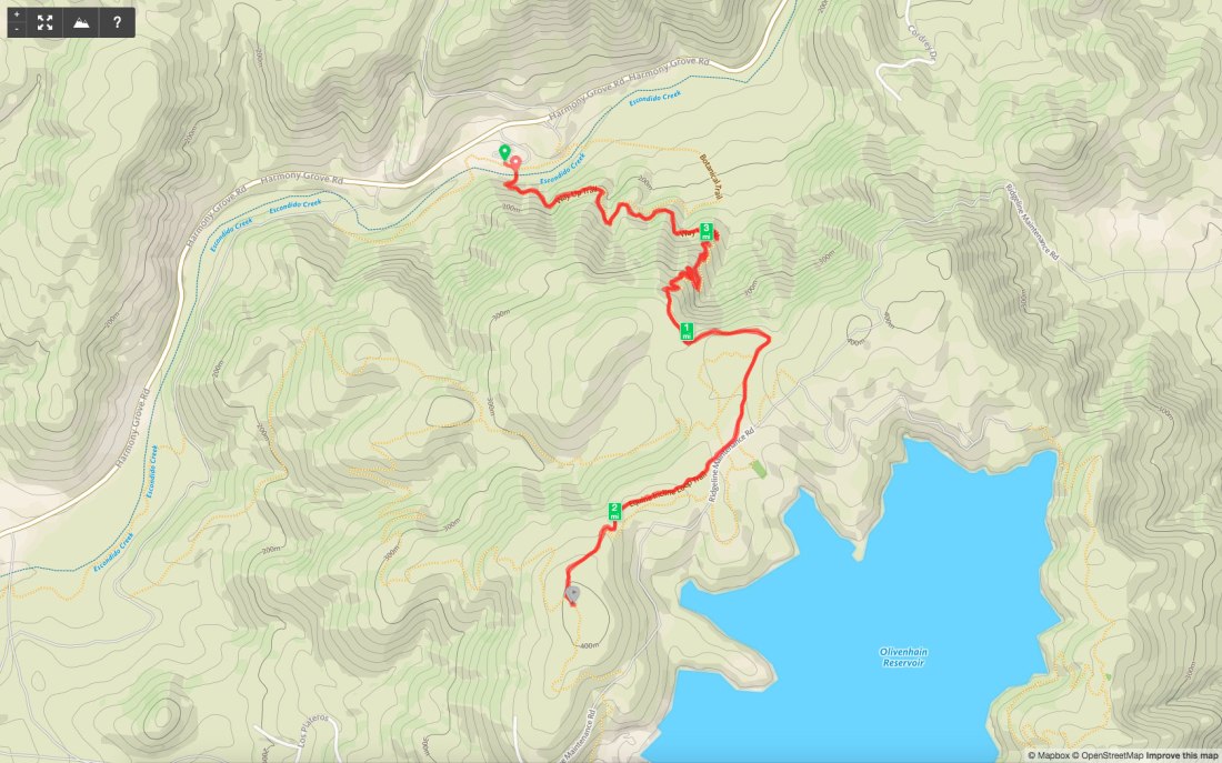
Lake Hodges Overlook

Distance: 6.6 miles
Date: February 29, 2020

Since my hiking partner backed out of our planned hike up Volcan Benchmark, I decided to stay in town and complete the 2019-2020 Coast to Crest Challenge. My final hike was to be 6+ miles out to the Lake Hodges Overlook.
IMG_9460

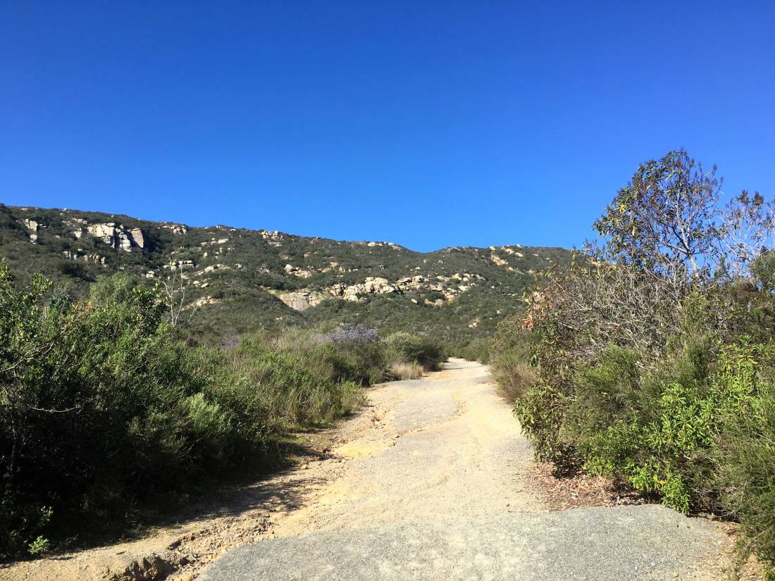
The trail begins with a good steep climb for the first mile and a quarter. One of the rewards of the climb was a nice vista of the peaks to the north and east. In fact, snow-capped San G was even visible in the distance.

As I continued my climb, I could see the “Way-Up Trail” across the ravine. Just past the summit, I turned north and worked my way up and down toward the overlook.
IMG_9492

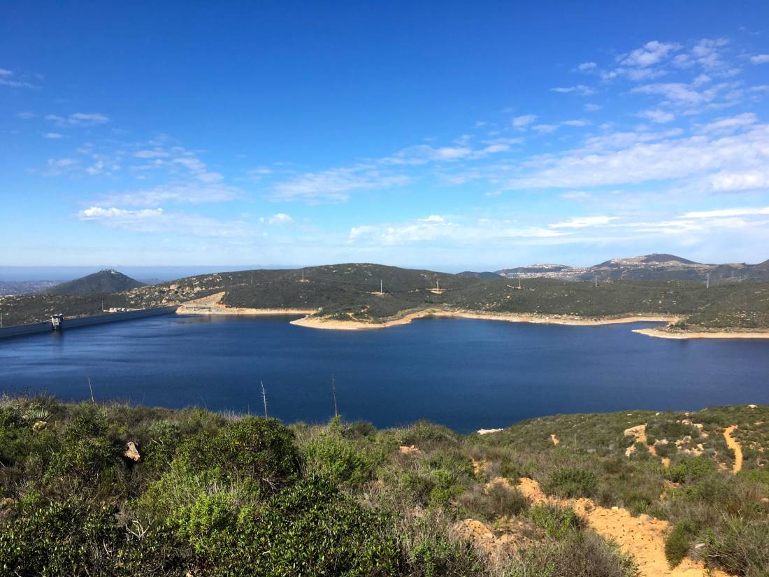
The shimmering waters of the Olivenhain reservoir stood to the west of me.

Eventually, I reached the overlook and took my required selfie. A small peak stood just a bit further to the south, so I had to go climb it. This peak is the official Lake Hodges overlook.

In fact, it had a small survey marker and a post on the summit! I snapped a few more photos and headed back. With that, my C2C Challenge was done! Can’t wait until the next one!

Mount Israel

Peak Name: Mount Israel
Distance: 3.6 miles
Date: May 6, 2017 (Sept 18, 2019)
Summit: 1,346 feet

On a semi-rainy afternoon, I, along with a few friends decided to head out to Elfin Forest and hike up to Mount Israel. Parking in the main lot for the reserve, we crossed over the stream and began climbing up the Way Up Trail.

IMG_3382
Escondido Creek

Once we reach the overlook to the Olivenhain reservoir, we continued on west to the summit. The rains held off, but the cloudy mists still made for a damp, but refreshing hike.

IMG_3378

We headed back down the trail to the car, dried off and headed home.

Update: September 18, 2019

With the days getting shorter, I knew I needed to do this peak soon since the reserve closes around sunset. Unlike the last time I did this peak, the day was nice and clear. I crossed over Escondido Creek and began my climb up the Way Up Trail. There is no warm-up for this trail, so be warned. This nice thing about doing this hike in the late afternoon is you get some shade as you make your way up the switchbacks.

Once at the crest, you will reach a junction with some of the various trails in the reserve, as well as your first view of the Olivenhain Reservoir. Heading to the west is the Equine Incline Loop Trail which will take you up toward the actual summit.

The summit is located at the Elfin Forest Overlook. Here you will find two shaded stone benches to take a break on. There is also a memorial post to our canine companions. The actual summit is marked not by a benchmark but by a viewing platform. A similar one is also atop Iron Mountain.

After a quick break, I headed back down the trails and to my car. This was my 65th peak of the 100 Peak Challenge.

mount_israel