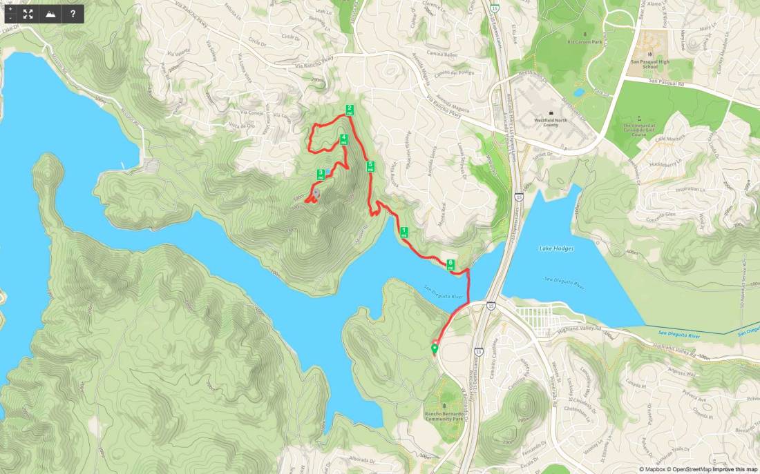
Peak Name: Clevenger Canyon South
Distance: 5.0 miles
Date: March 31, 2019 (August 6, 2017)
Summit: 1,670 feet
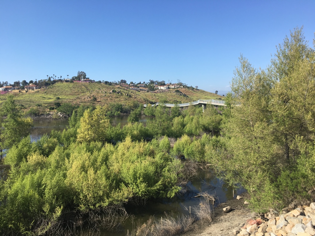
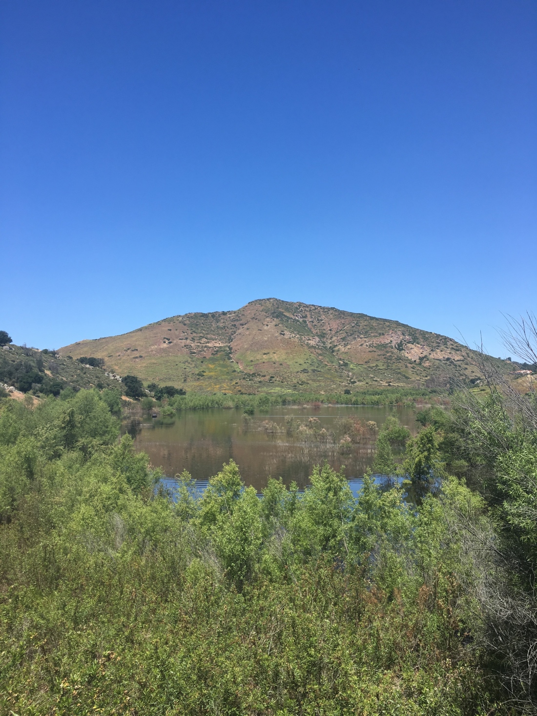
Just past the San Diego Safari Park, are the trailheads to San Pasqual North and South. These trails are also referred to as Clevenger Canyon North and South. The south trail is the more visited trail of the two, in part for its views of the San Pasqual Valley and the famous chairs near the summit.

The south trail is well trafficked. Unlike the north trail, it does offer a bit more shade in a few spots. The parking for the trailhead is right after a bend in the road, to be prepared. If you miss it, continue on to the parking for the north trailhead and turn around there.
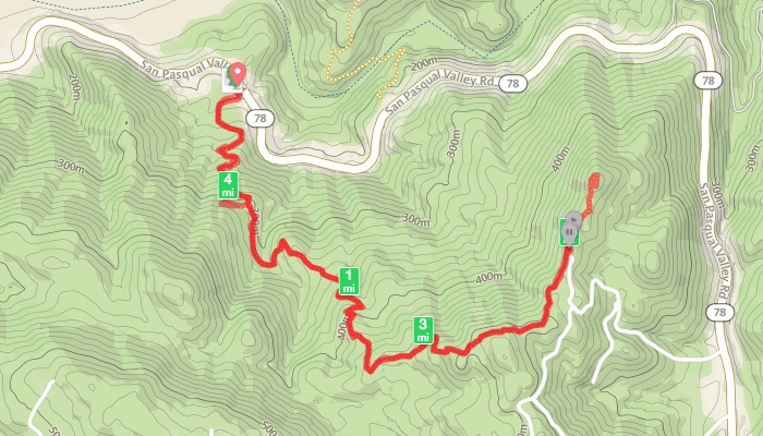
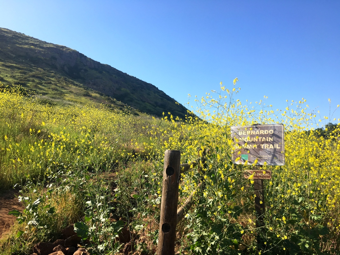
The actual summit that is listed on the 100 Peak Challenge is Peak 1755, which is not the peak at the end of the trail, but rather a bit before the famous chairs. Since I had other commitments this weekend, none of my remaining peaks were doable, so, I finally decided to formally summit Peak 1755, aka Clevenger Canyon South. I had read that portions of the trail had a nice display of wildflowers, and I was curious to see how it was recovering from the fire last summer.
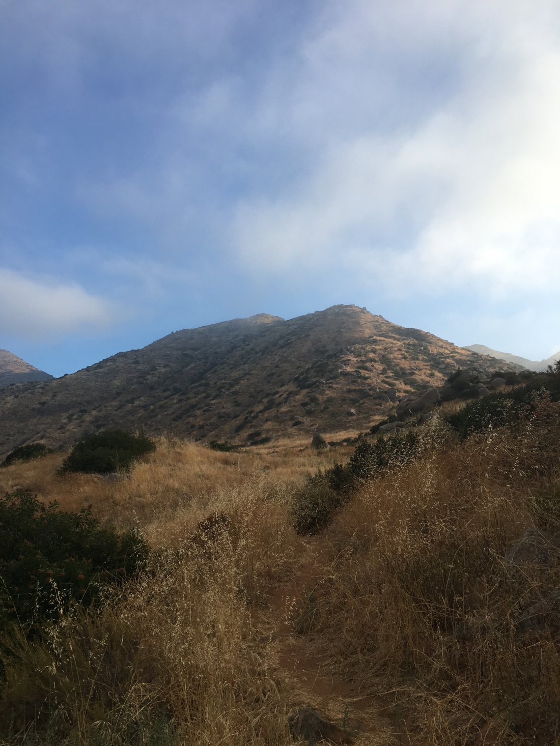
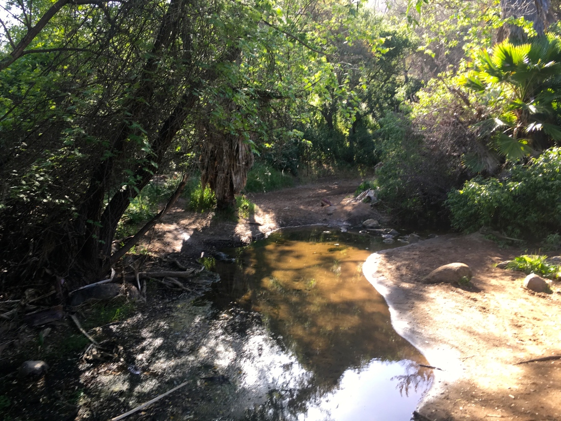
Ted Markus and I headed up the trail. The fire scars were there. The burnt bushes dotted the hillside. The fire break could also be seen. However, we were surrounded by flowers as we worked our way up.


The stream was still trickling as we enjoyed the small section of shade. After a while, the flowers lessened as we kept climbing.


At the junction, we followed the use trail for a short jaunt to the summit of peak 1755. There is no benchmark nor register.
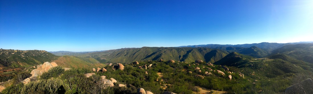
After rejoining the main trail we continued on to the chairs. The fire has destroyed the stairs to them, so a little scramble is now required to reach them. The views did not disappoint.


We pushed on to the end of the trail before turning back. Coming back down we meet quite a few folks making their way up. Nice to have this peak formally done.