Peak Name: Manza Benchmark
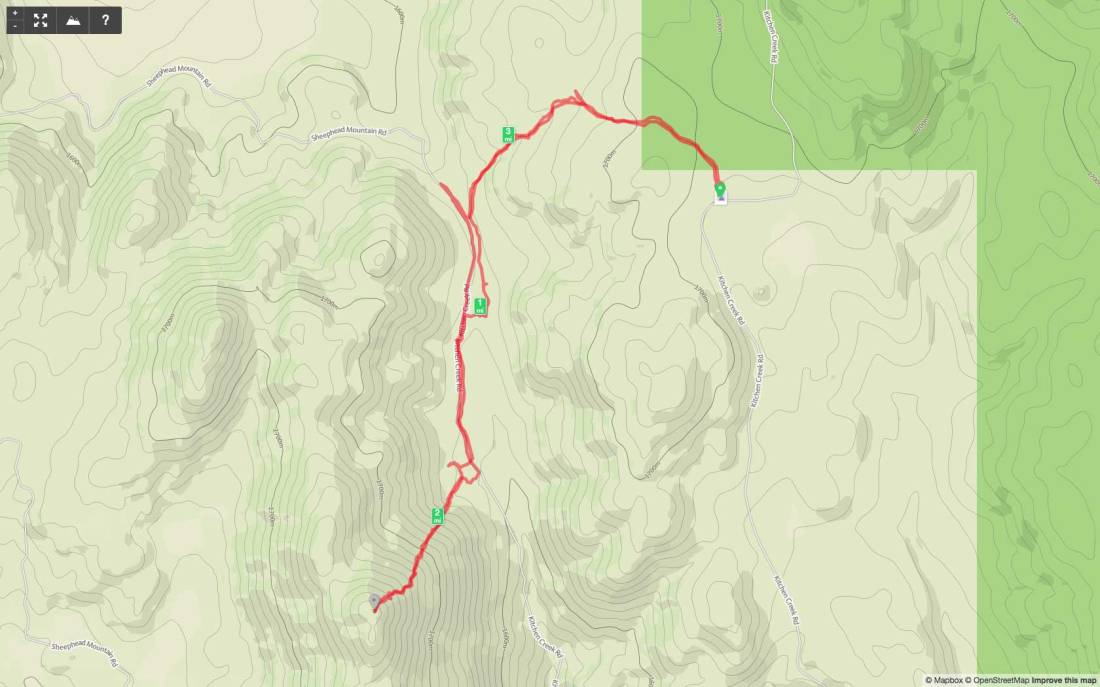
Distance: 3.94 miles
Date: November 19, 2017 (October 12, 2019)
Summit: 5,525 feet
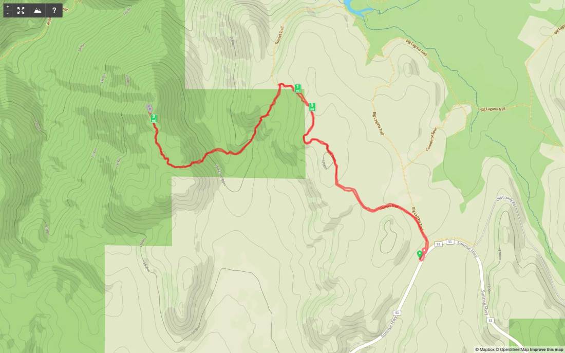
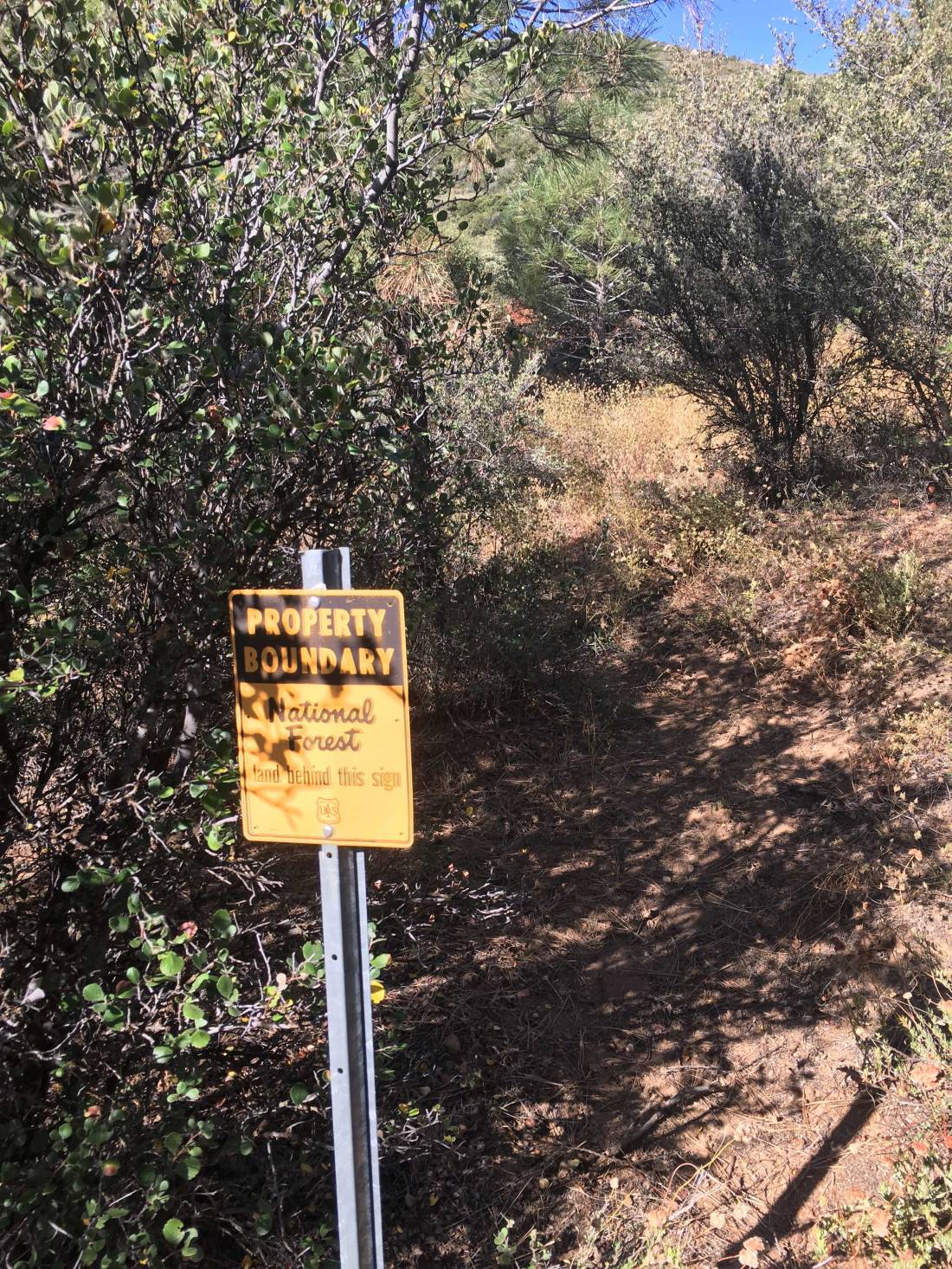
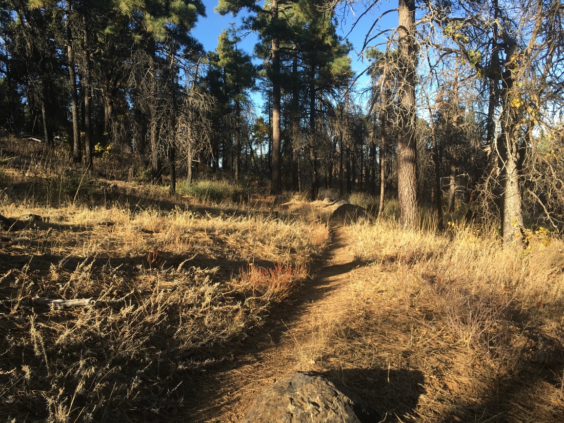
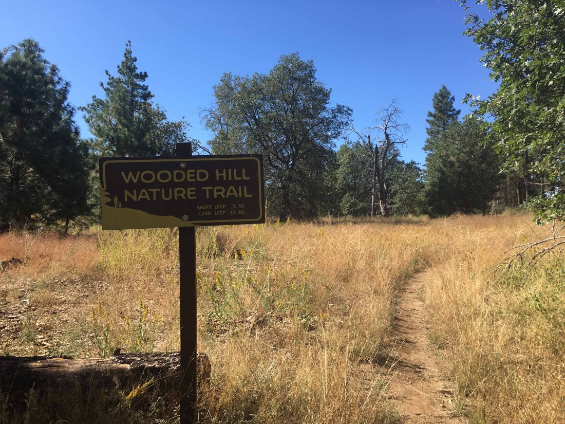
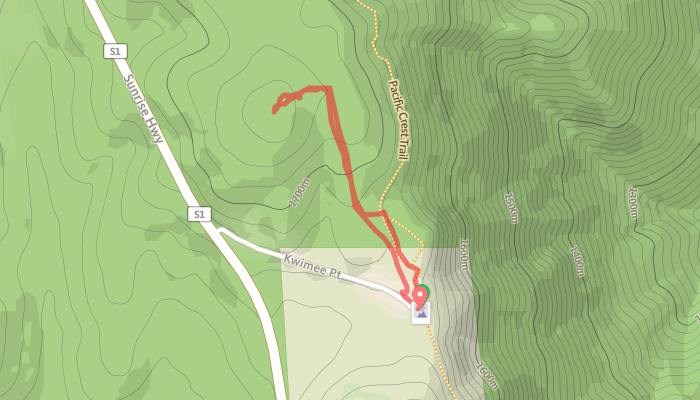
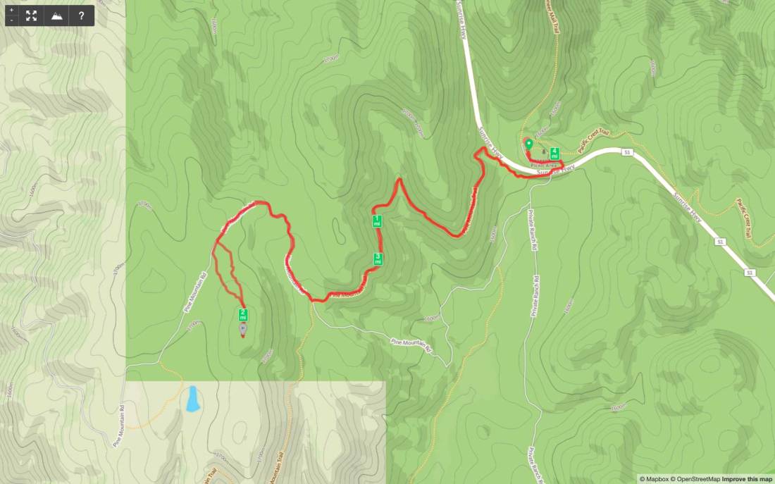
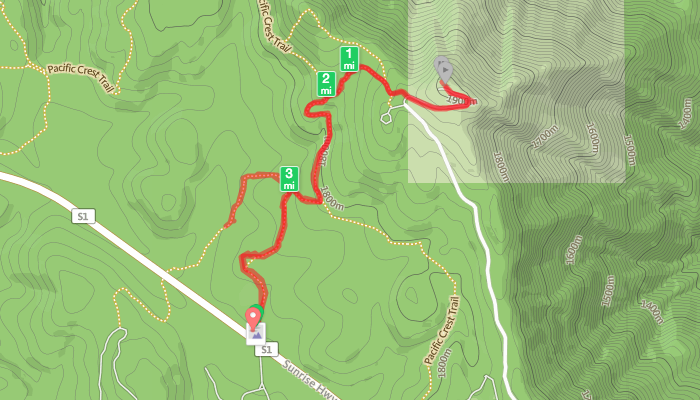
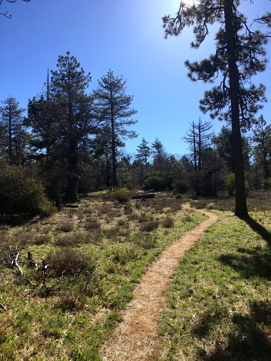
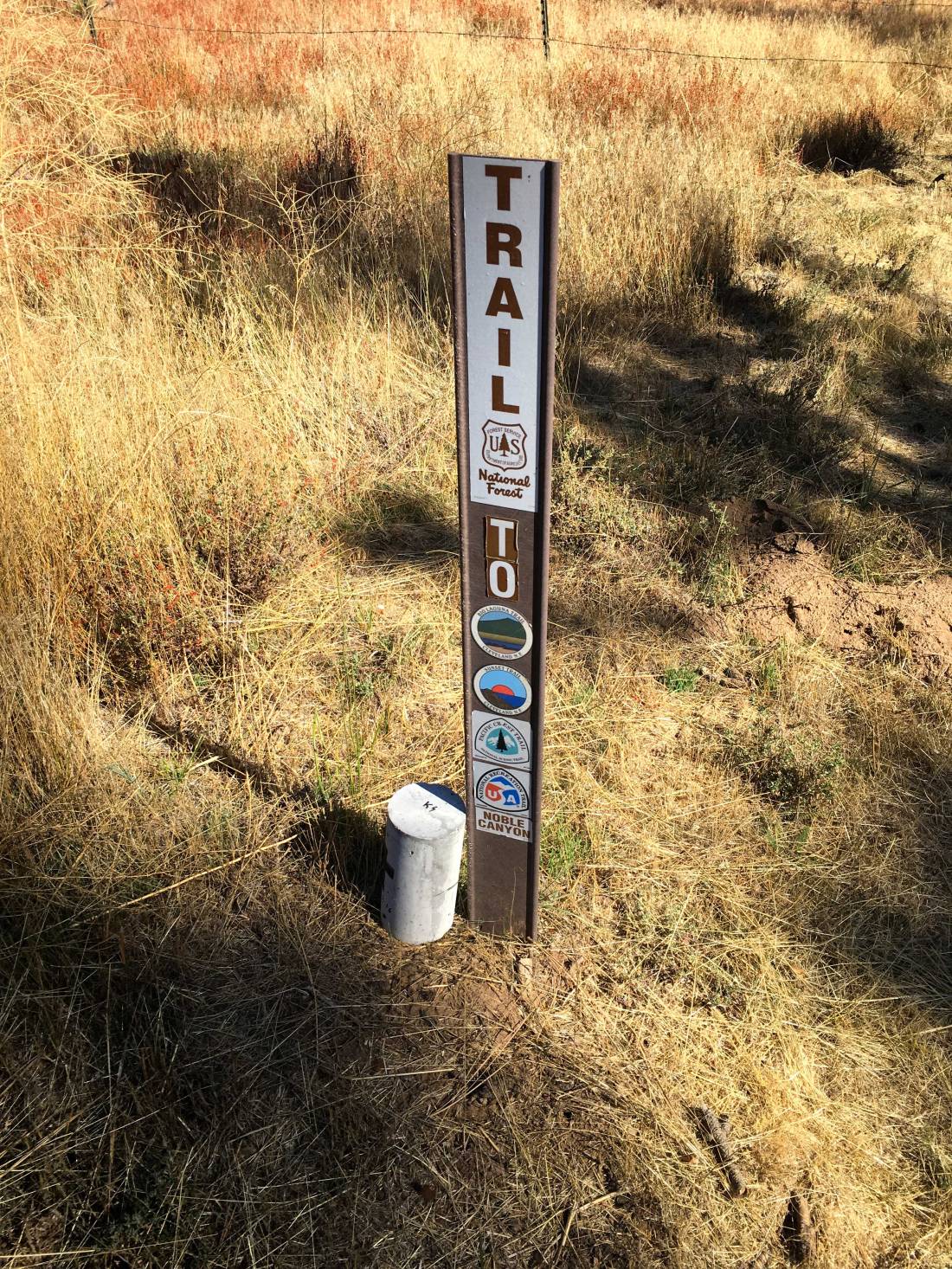
Looking to summit another peak in the Lagunas before any weather hit, so I opted to hike out to Manza Benchmark. This time I was joined by my good friend James. We parked just off Sunrise Highway, right near the Sunset trailhead. We followed the main trail for a bit before locating a use trail heading across the meadow.


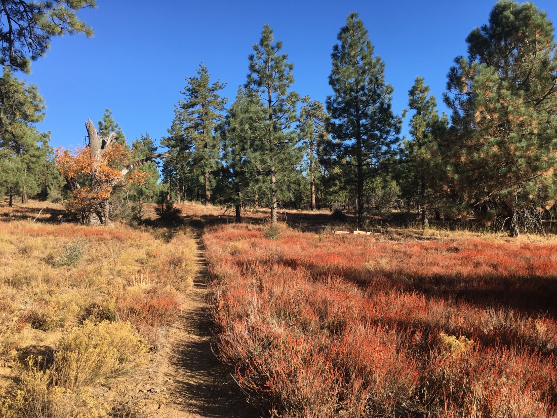
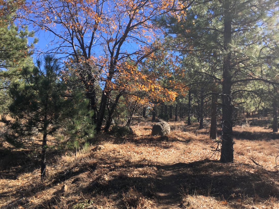
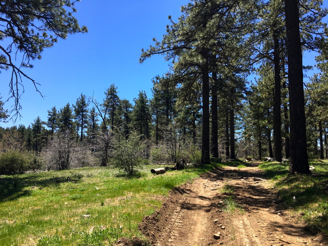
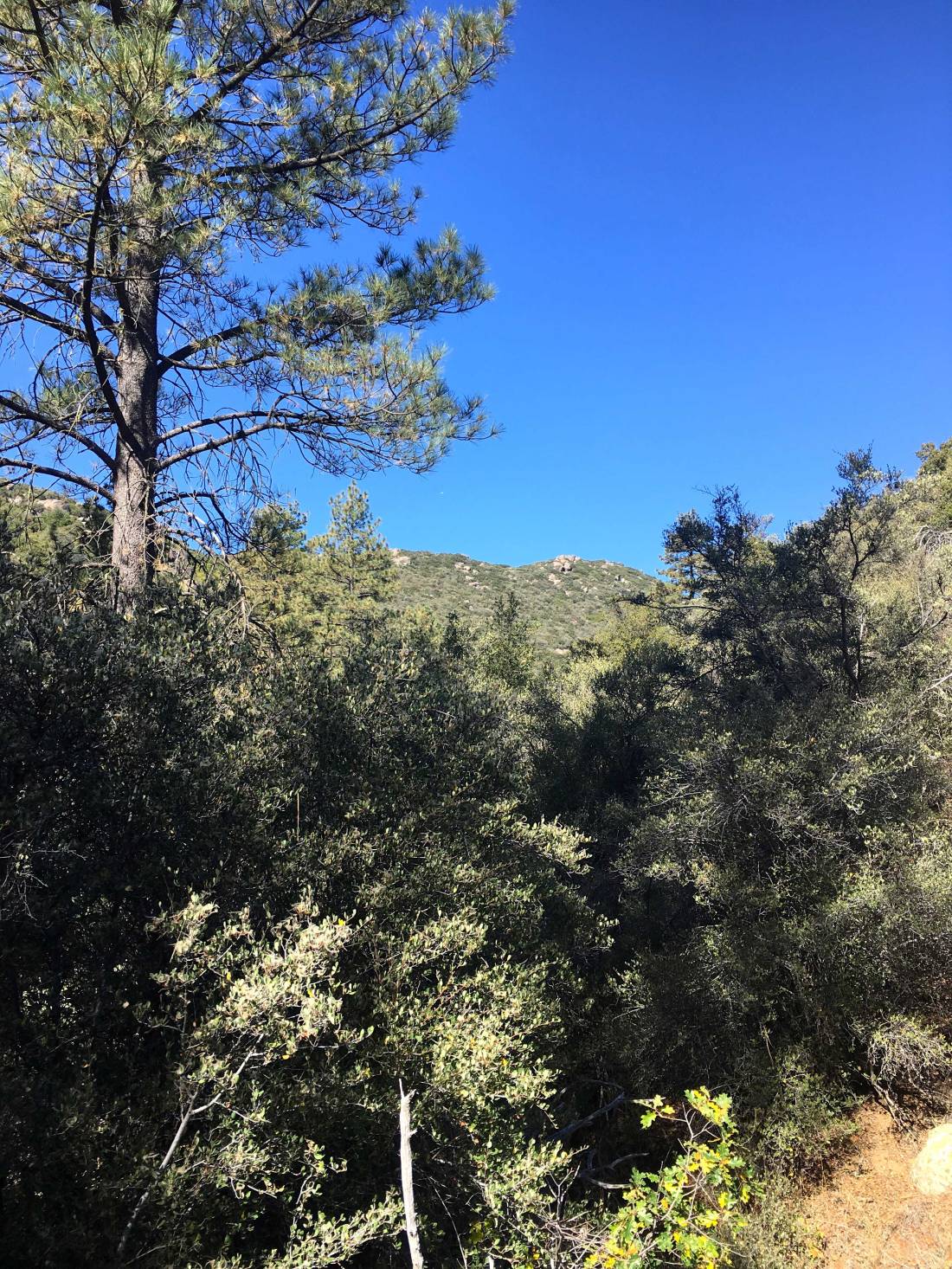
The trees were still showing some bit of fall on them. We knew that the trail was going to descend into a drainage area, before climbing another ridge to the actual summit. Carefully check our maps and route, we navigated down through the brush. Bits of poison oak was spotted along the sides of the trail, so some extra care was taken as we began ascending.

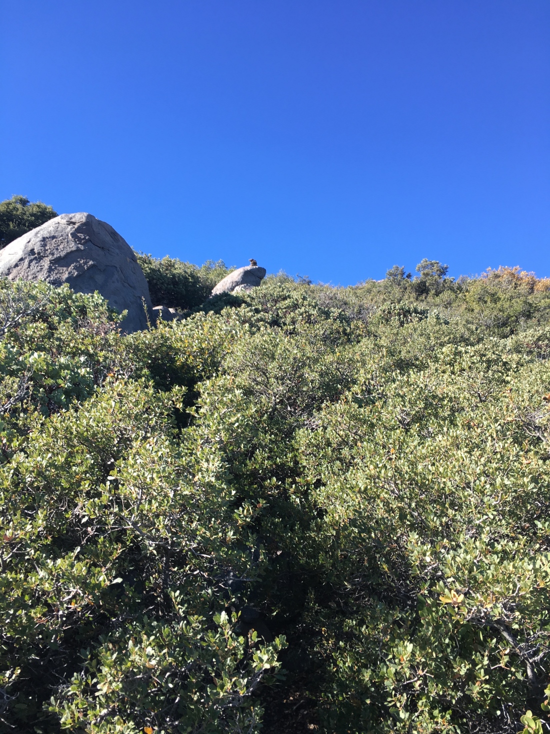
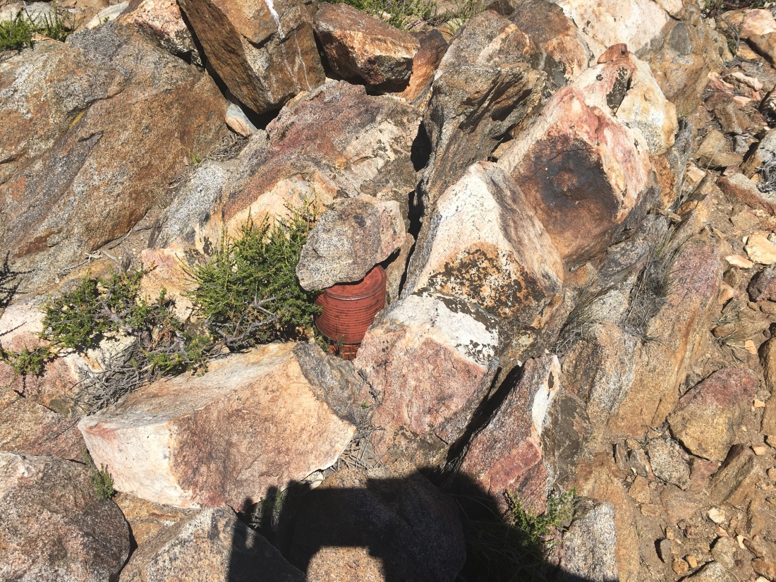
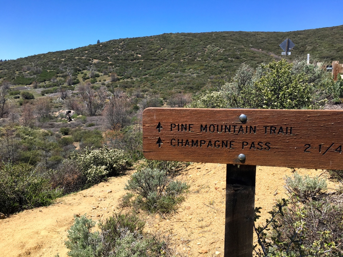
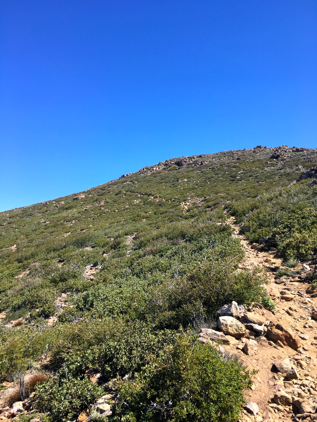
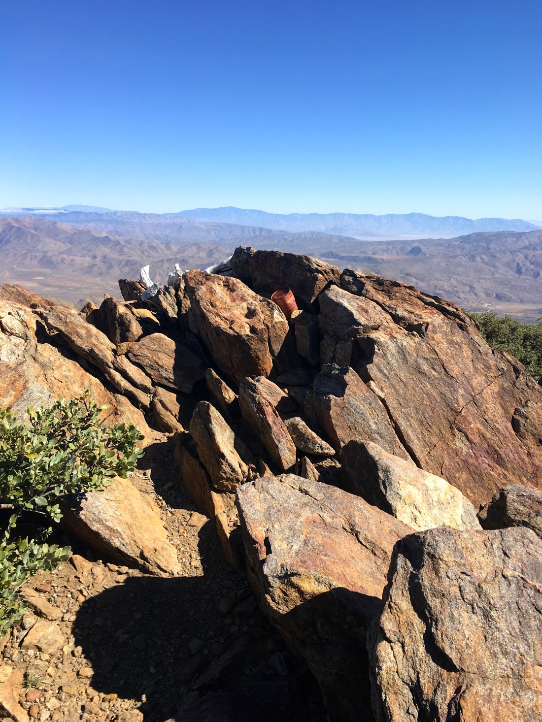
Once we reached the ridge, we began passing through thickets of manzanita and over several false summits, until at the end of the ridge our goal was sighted.


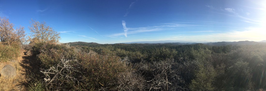
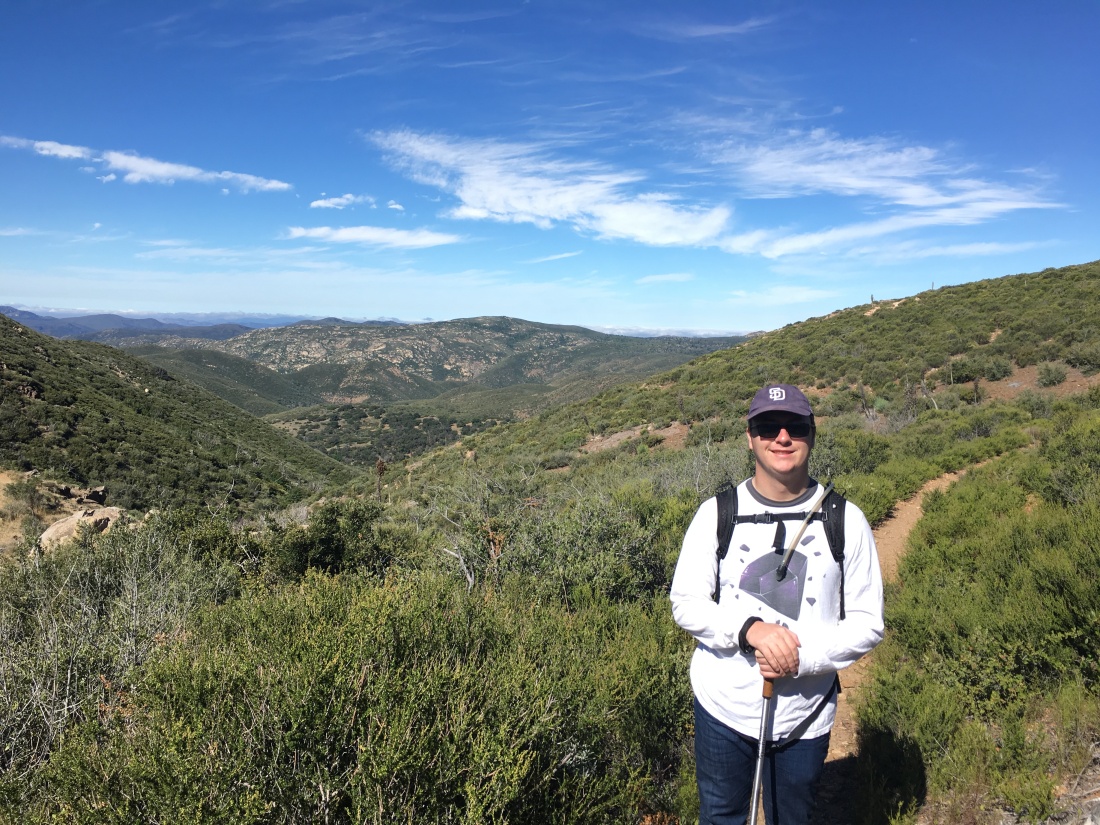
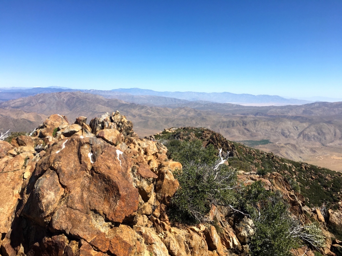
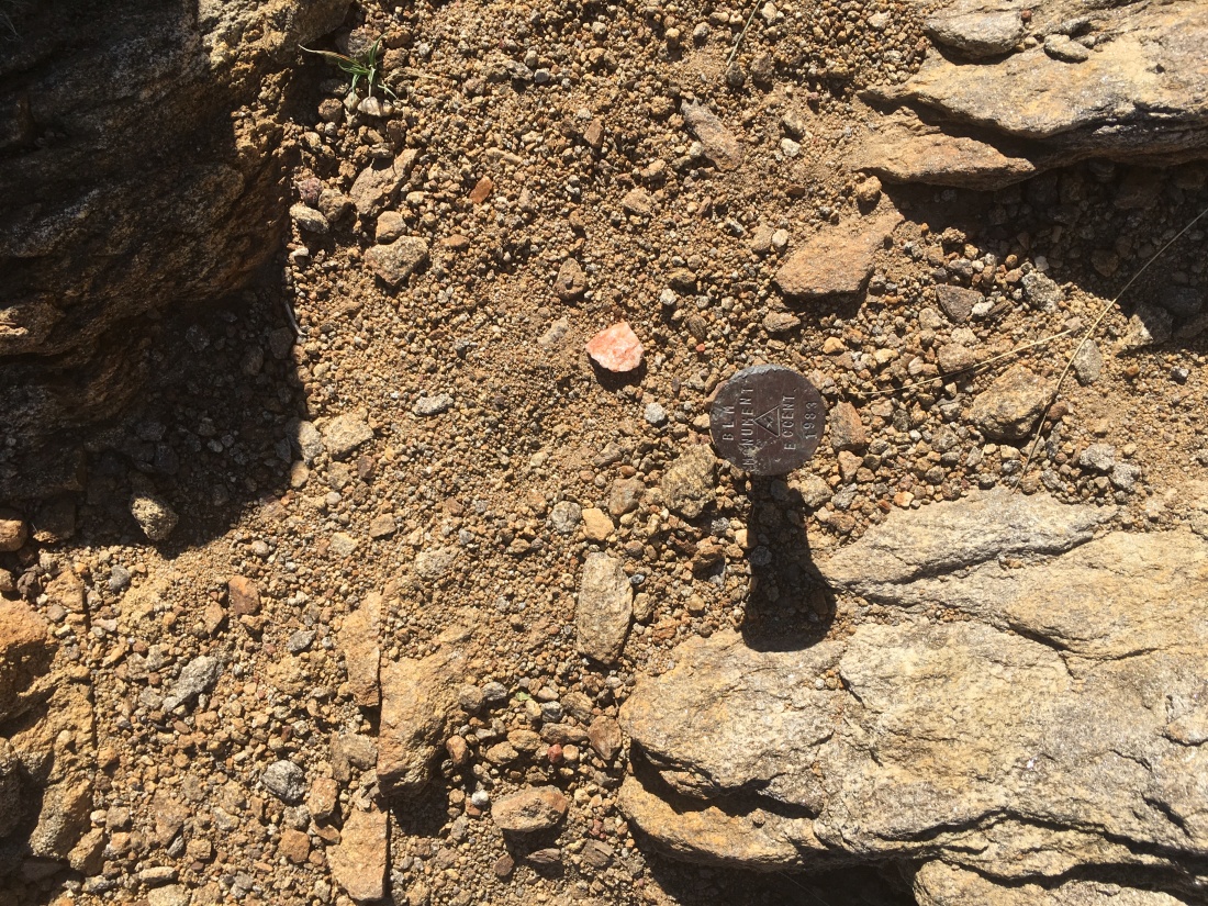
With some minor rock scrambling, we found the benchmark and signed the register. As we rested, the views were surprisingly nice. After soaking up some sun and the quiet, we began our trek back to the trailhead. We again were careful as we worked our way down the drainage ravine, as it was a steep descent. Soon we found ourselves back at the car and off for a cold beer at Alpine Brewery and a tasty burrito.
A few months later, I was hiking with Derek up to Whale Peak, and our conversation turned to what my favorite peak has been so far. Although I had some really enjoyable summits out Anza-Borrego, the summit was my answer. It was a nice blend of scenery, a bit of challenge and adventure.
Updated: October 12, 2019
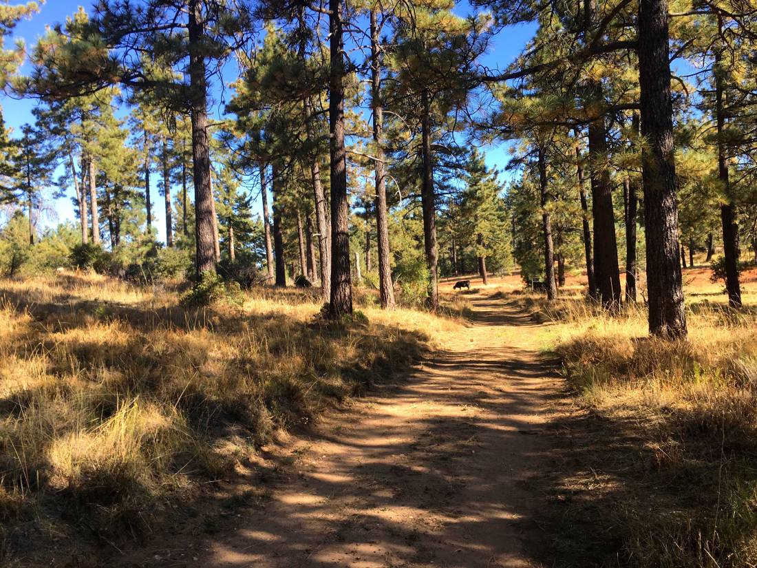
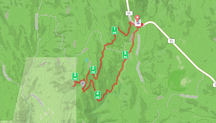
After summiting Sheephead Mountain, I drove a short way back down Sunrise Highway to the trailhead. I actually grabbed a spot right next to it. Both the Sunset and Big Laguna trails start from here, so it is a popular spot. I grabbed my gear and set out again. The Sunset Trail is a hiking-only trail so I did not worry about being run over by a mountain bike since the Big Laguna Loop is a very popular trail for them.
As I cruised along the trail, I spotted patches of poison oak to either side. I had a feeling that this was going to be an issue on this summit attempt. Soon I reached the meadow that I needed to cross to join up with the use trail that would take me down the ravine then back up to Manza Benchmark. As I set off across it, poison oak was scattered about. This was going to be a challenge.


I never found the use trail in the actual meadow, but on the other side, I spotted it and began my descent. The trail through this section was fairly easy to follow and only slightly overgrown, but tons of poison oak to attempt to avoid. After losing about 300 feet of elevation, it was time to make the steep climb out of the ravine. The bugs had started to come out, so on went the bug net.
The trail became fairly well marked with cairns as it quickly rose to the ridgeline. Poison oak continued to grow everywhere, I only hoped my contact would not become an issue later.
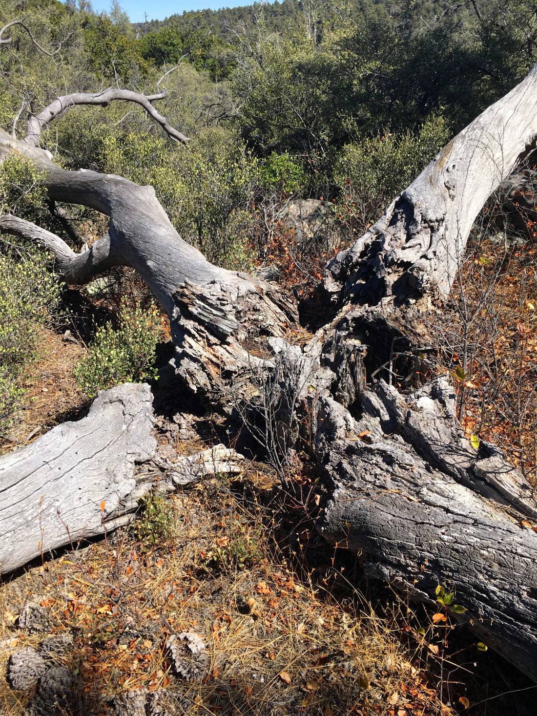
So I reached the crest of the mountain and turned northward. Here I would meander through the manzanita and over boulders toward the summit. The trail here was a bit more overgrown and I had a few spots that took a moment to resolve which way to go.

Finally, from atop the false summit, the Manza Benchmark stood before me. As I scrambled over the rocks, the same incredible view was presented to me. I sat on a rock and enjoyed a snack. I took my photos and again signed the register and began the trek down.


The return back to the Sunset Trail went by quickly, again hoping that the poison oak not going to leave a ‘gift’ for later. Soon, I was back at my car and my 74th peak of my 100 Peak Challenge completed.