Peak Name: Hot Springs Mountain
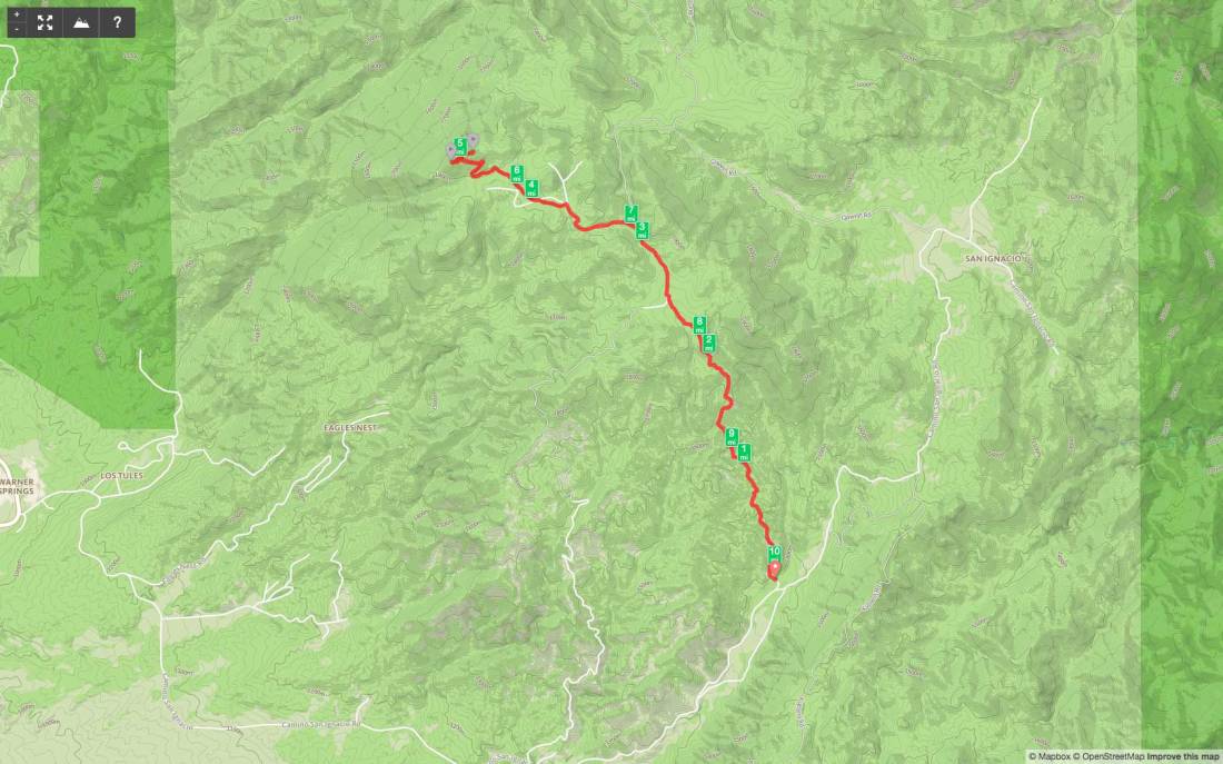
Distance: 10.1 miles
Date: November 26, 2017 (September 21, 2019)
Summit: 6,533 feet
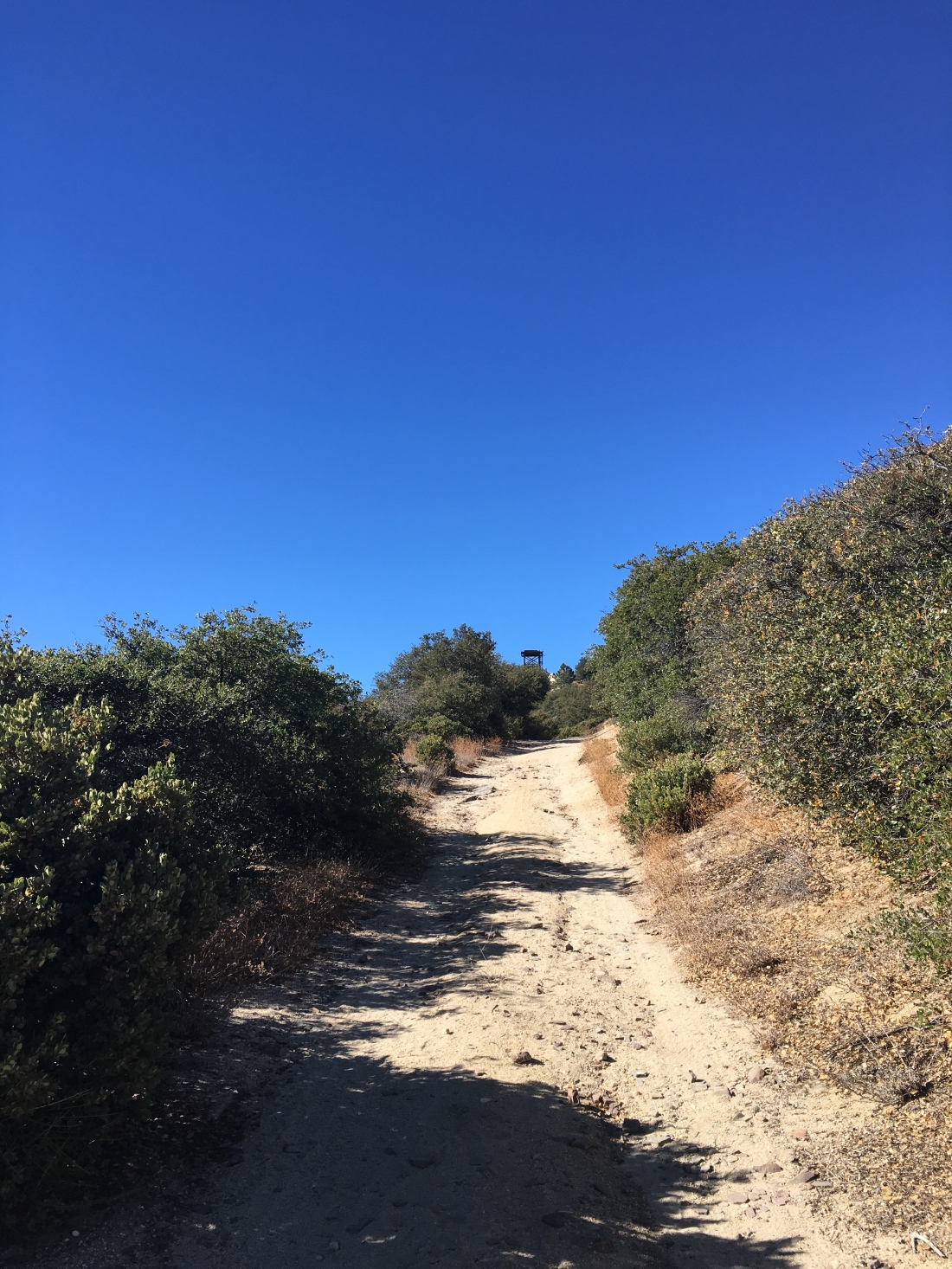
I decided to tackle the tallest peak in San Diego, Hot Springs Mountain. Ted was able to tag along as we drove out past Warner Springs to the Los Coyotes Indian Reservation. We drove toward the road that would lead us to the summit. As we pull up, the chain was down, some other hikers were gearing up to begin their trek up to the peak. We decided to continue up the road, bypassing some of the steeper sections. We found a nice turnout and parked. From here we simply followed the road to the abandoned fire lookout tower.
We had a fantastic view from the base of the tower. You can no longer access the tower, and it only a matter of time until it needs to be fully torn down.


We opted not to work our way to the formal summit block, as I was feeling the effects of my increased hiking cadence. We returned back down the road, enjoying the shade from the trees.
As we drove out, we once again looked for someplace to pay our entrance fee, but no luck. I had to chuckle to myself, the highest point in San Diego was still lower than my starting point for my recent summit of San Jacinto.
Update: September 21, 2019
Today’s peak was to be the highest point in San Diego County, Hot Springs Mountain at 6,533 feet. As I drove out to Warner Springs, a fog bank hung over the lake, and the thermometer read 41! Hoping it was not like that at the campground. I made my way onto the reservation and slipped my $10 into the slot. Parking near the chain that blocks driving up Sukat road, the temperature was a crisp 56°F, what I had expected. I gathered my gear and started up the road.


If you have never done this hike, the first two miles are steep! I was glad to have a cool morning and some shade as I made my way up. I was passed by 4 trail runners practicing for the Ragnor race in a few weeks.
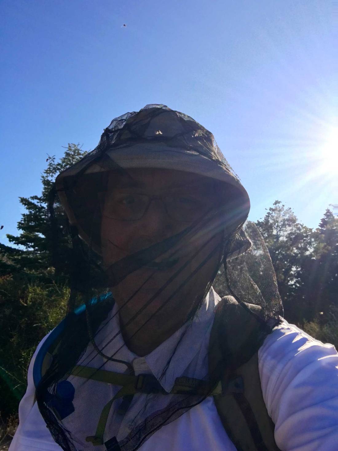
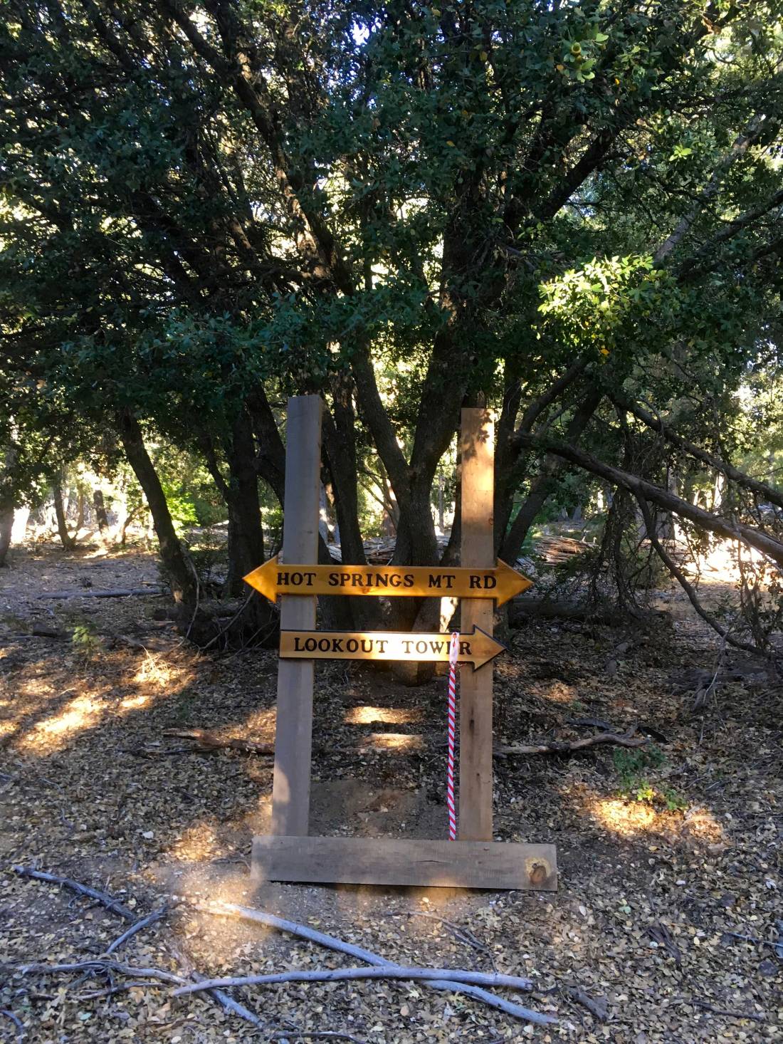
Once the steep section is over, the hike is nice. However, about a mile in the bugs started to appear. I grabbed my bug net and tossed it on. Before leaving the car, I had applied bug spray so they avoid the arms. The road continued working its way upward. Portions were covered in acorns. Various animal tracks could be spotted in the dirt. Some nice signage pointed the way to the lookout tower.
I kept expecting to see the trail runners making their way back down, but I never did. I guess the headed down Hot Springs Road instead of going to the tower. After 5 miles of hiking and almost 2,500 feet of elevation gain, the abandoned tower came into view.


I took a break and enjoyed part of an orange and the views. A breeze had picked up so the bugs were held at bay. A register has been placed here, so I signed it. But the true summit is a just hike to the north.


Following an over flagged use trail, I found myself at the base of the summit block. The register is located at the base, as it does take a bit of effort to scale the summit. Two ropes are attached to the top and they seemed solid. But I decided to scout around to find a possible safer ascent for a solo climber. Around the north side, a nice crack in the rock allowed me to get past the halfway point. From there it was a class 3 move to the top, the ropes gave me just enough comfort to scale the final portion. There the reference mark was found and the actual benchmark down inside the concrete platform.


I took my photos and scale carefully back down. Grabbing my poles and pack I set off down the road. I was feeling great as the miles tick past. I drank some Gatorade and eat some, all while moving. The bugs were too annoying to really stop. After just over 4 hours of hiking time, I found myself back at the car having covered 10.1 miles. This was my 67th peak of my 100 Peak Challenge!