Peak Name: McGinty Mountain
Distance: 4.77 miles
Date: December 24, 2017 (June 30, 2019)
Summit: 2,156 feet
Located near Jamul, stands McGinty Mountain. Jerry Schad, the original author of Afoot and Afield in San Diego, wrote
While there is not as much foot traffic on this trail as nearby Mount Woodson, Iron Mountain, and Cowles Mountain, the views at the summit are equally as stunning and worth taking in.
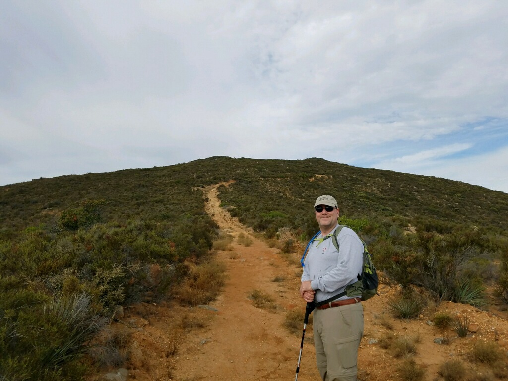
A nice sized dirt parking lot is available next to the trailhead. A kiosk provides some information about the trail and the area. I was joined by my friend Michael and his son Jacob.
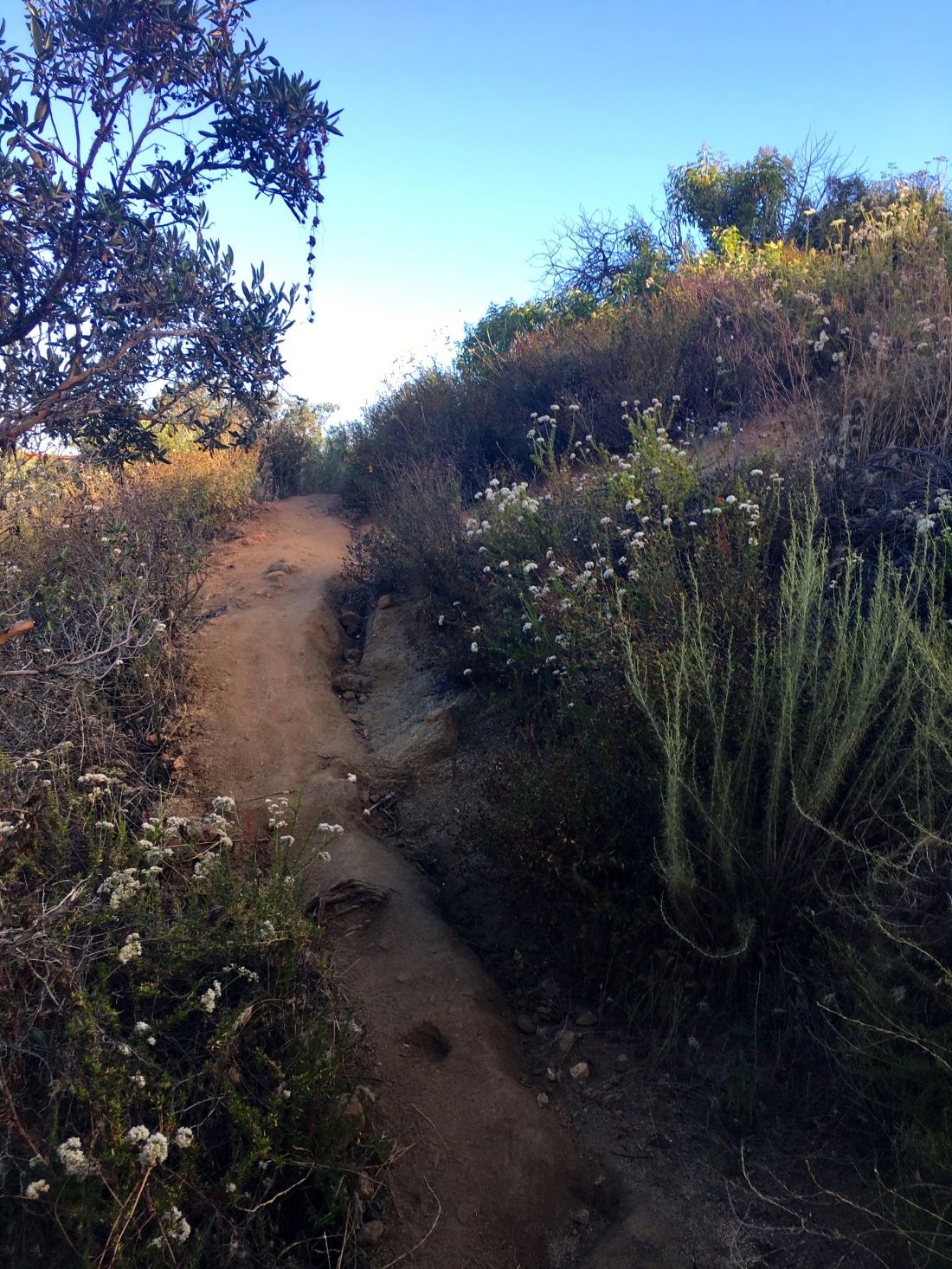
The trail follows the side of the mountain, using a series of long switchbacks. You gain some elevation quickly, so make sure you stretch first. After a bit, the grade will lessen, keep an eye on your route as the area is riddled with side trails. Usually, the heavier trafficked path is the correct one.
ABout 2.2 miles in, the grade will increase again, but as a reward, you will see one of the old mines off in the distance. It is easy to miss but the picture below shows where to stop to see it.

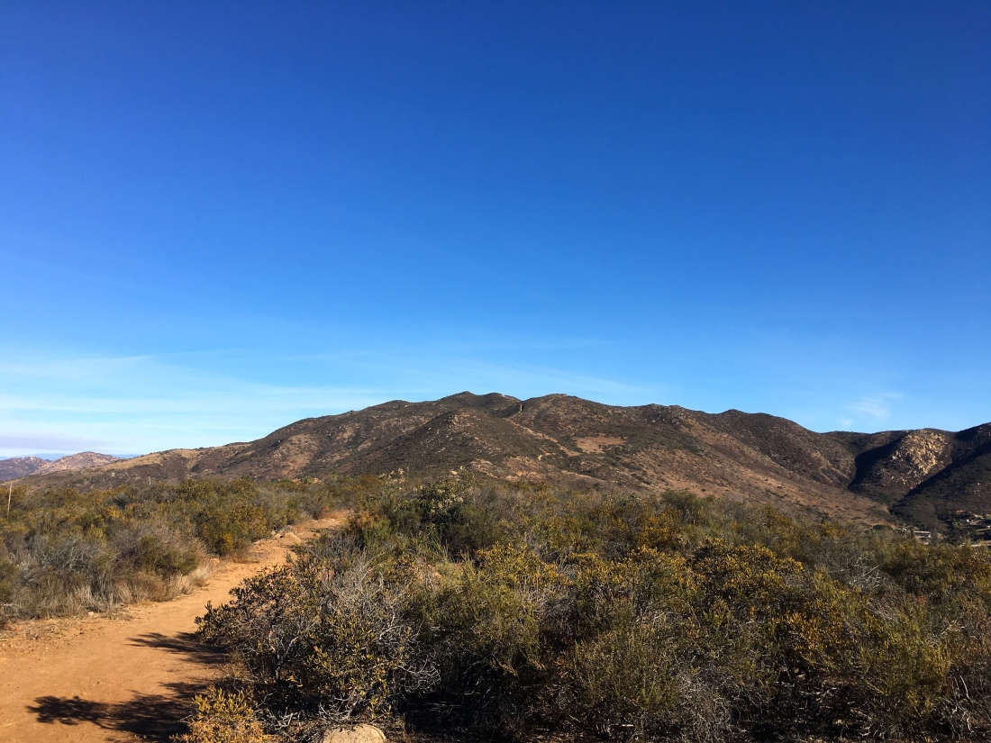
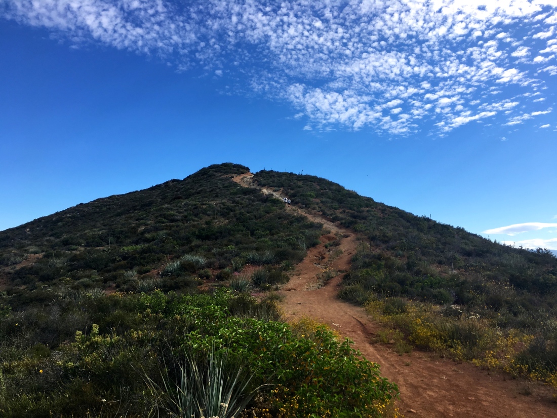
Soon, you will reach the summit of McGinty Mountain after a little rock scrambling.
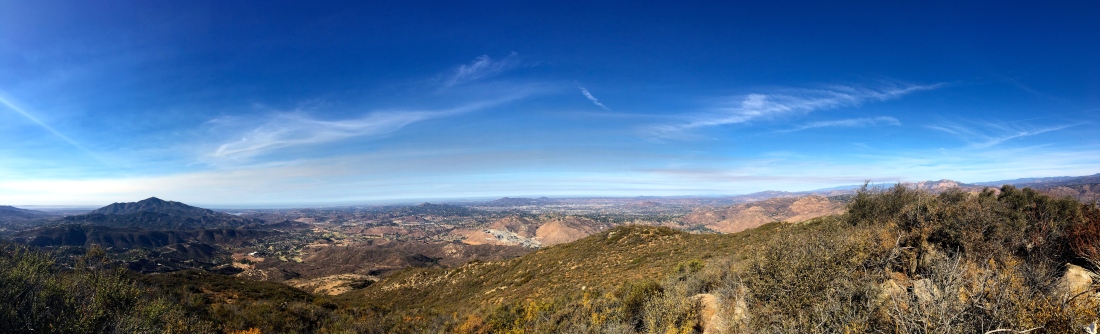
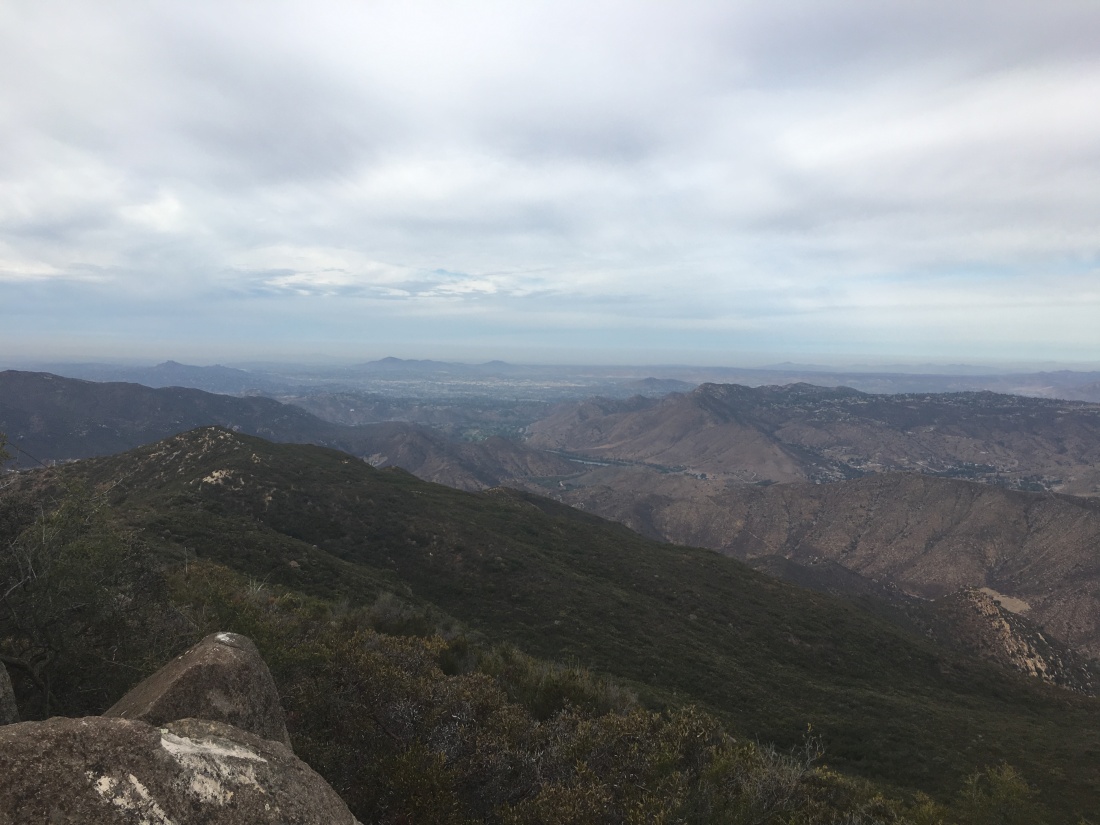
Once you reach the summit, you will be rewarded with views of Mount Helix and Cowles Mountain to your west and San Miguel Mountain and Tecate Peak to the east.
Update – June 30, 2019
Since I had hiked both the Kanaka Flats Loop and Arrowmaker Ridge High Point the day before, I was looking for something a bit shorter. McGinty Mountain fit those requirements nicely. I convinced Dave to tag along for the hike. Drove out to Jamul, and pulled into the parking lot which was filled with about a half dozen cars. We grabbed our gear and head out onto the trail.
We began quickly climbing toward the false summit, passing three hikers who were training for an upcoming Sierra backup trip.

Soon the summit came into view and we continued our climb. I pointed out the abandoned mine across the divide.

Upon reaching the summit we meet two other hikers.
Unfortunately, flying termites were swarming about, so we grabbed a few photos and headed back down.


The hike back to the car went quickly. Since we did it slightly faster than planned, it was too early for lunch, so a refreshing Jamba Juice filled in. This was peak #44 of the 100 Peak Challenge Reboot. Now to plan the hikes for the July 4th weekend…