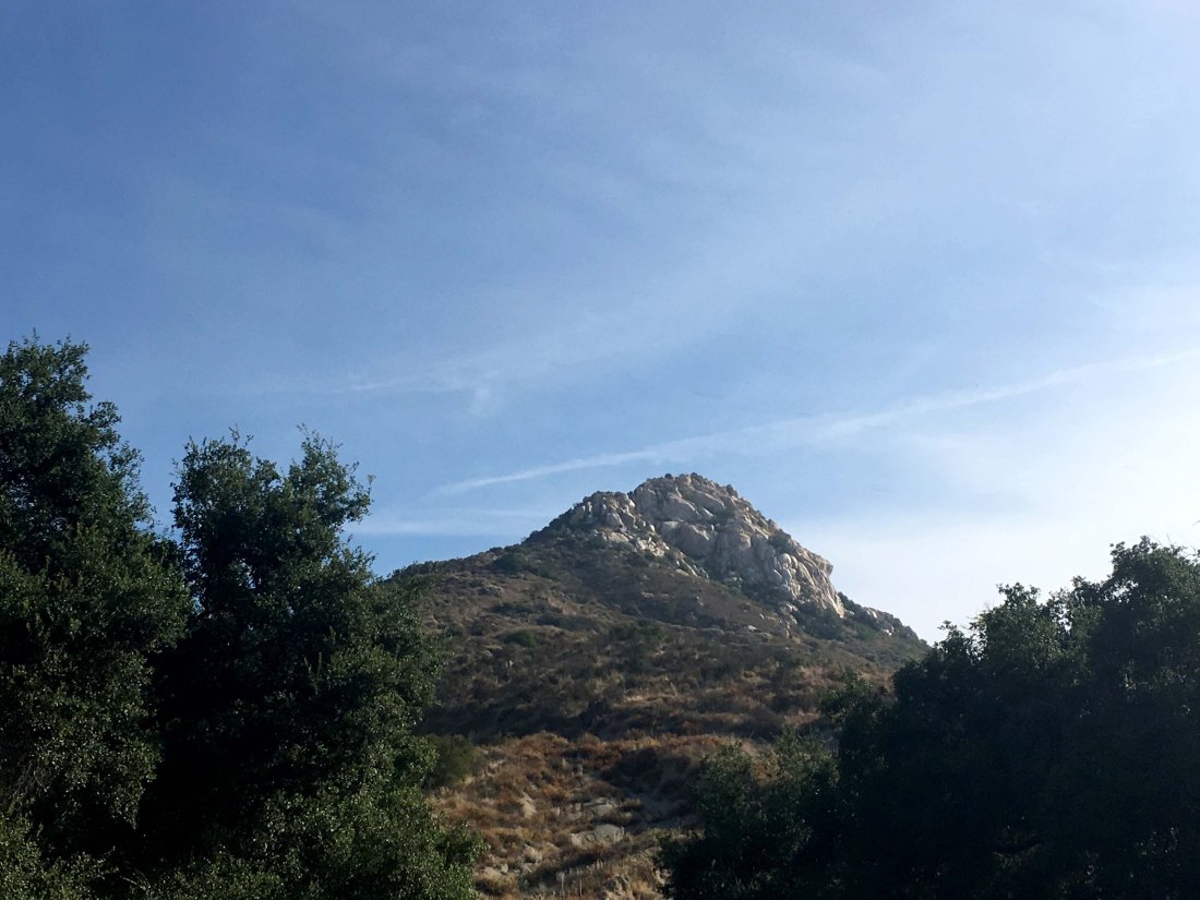
Peak Name: Rock Mountain
Distance: 1.2 miles
Date: September 23, 2017
Summit: 1,062 feet
UPDATE:
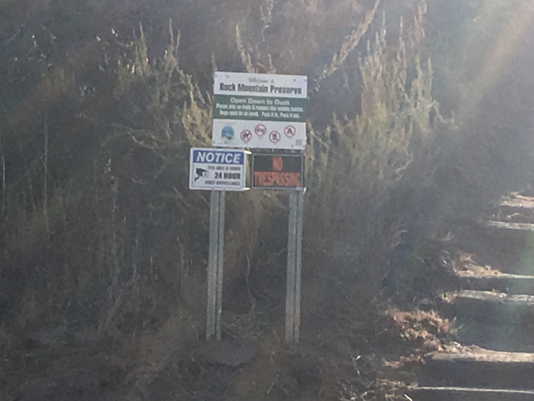
Rock Mountain Preserve is currently CLOSED until further notice due to erosion and unsafe trail conditions.
This short hike is tucked away past Fallbrook. I summited it after bagging Monserate Mountain which is not too far away. The trailhead is well marked and has room for about 5-6 cars.
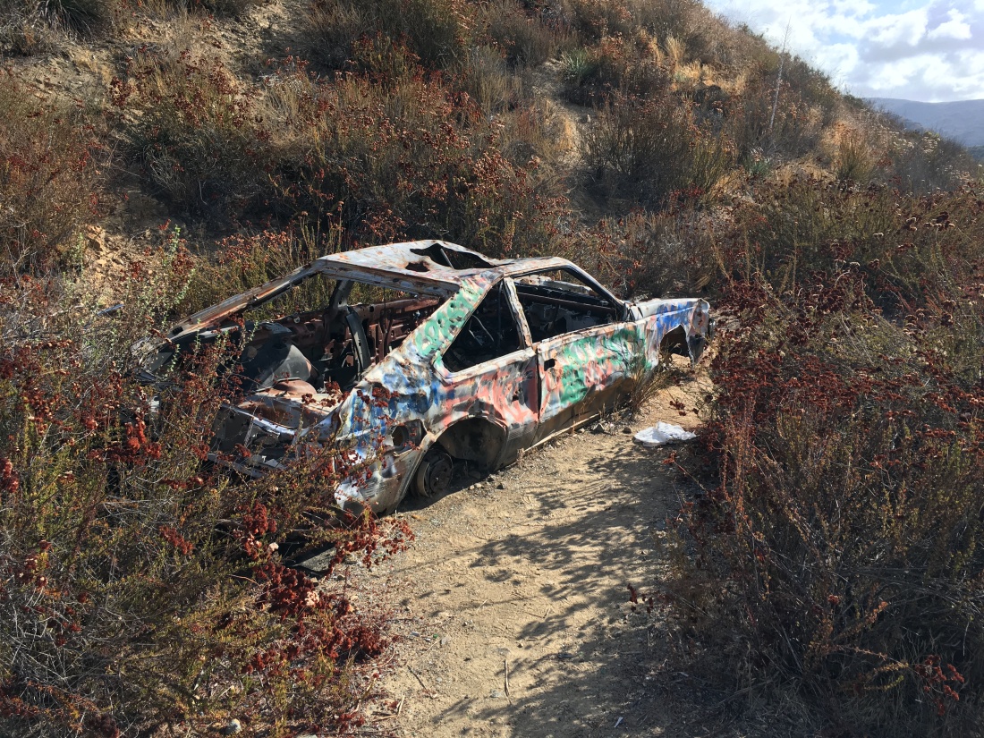
The trail itself is a bit beat up, with some serious rutting in some sections. One of the more interesting sights on this trail is the two abandoned (and spray painted) cars. It is not quite clear how they even got there.
As you near the summit, the trail becomes quite steep, and the final push to the top weaves you through some boulders. Once you are there you are rewarded with a nice view.
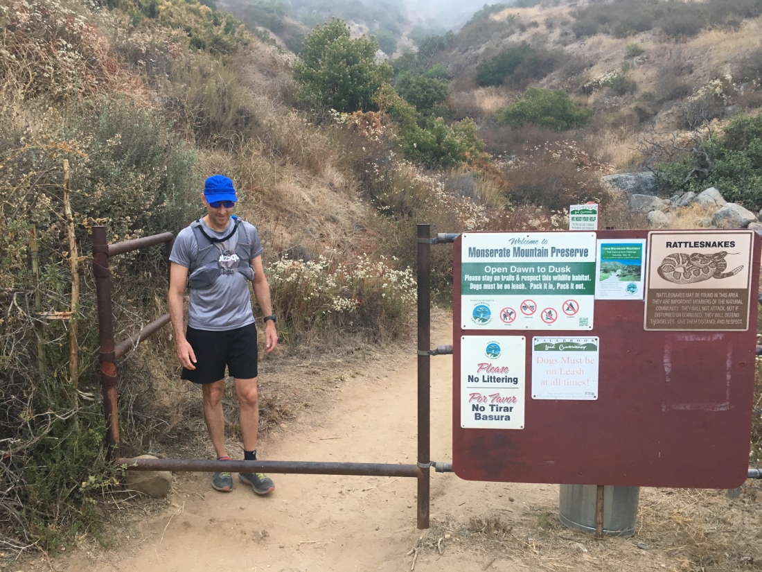
Peak Name: Monserate Mountain
Distance: 4.3 miles
Date: September 4, 2017 (July 28, 2019)
Summit: 1,548 feet
This peak is near Fallbrook, just past where the 15 and 76 meet. The first time I attempted this summit, I turned back due to the heat. Although I started from the trailhead at 8am, the thermometer was about 85. The forecast had predicted for the heatwave to break overnight. They were wrong. About halfway up, I could feel the effects and opted to turn back. I grew up a Bakersfield and know how dangerous heat can be.
I return the following weekend and began hiking up the trail. This time the weather was mild and slightly overcast.
I opted to do the full loop, rather than a simple up and back. The trail itself is a wide fire road and is popular with the locals looking for exercise.
The backside of the loop had few people on the trail. With the nearby housing that is being built nearby, I expect this trail will become more popular.
The summit has had its benchmark replaced.
Update: July 28, 2019
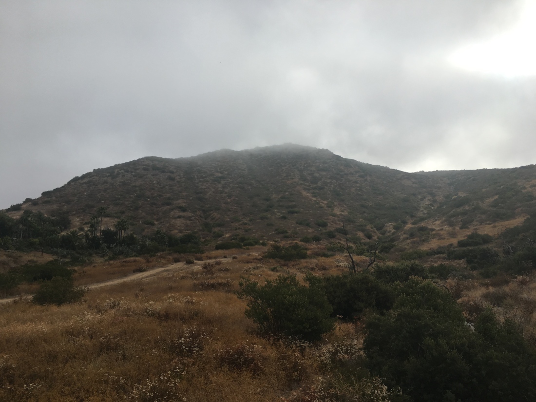
So decided to knock out Monserate Mountain in Fallbrook this morning. Ted happily tagged to along, in part to check out his ankle on a short hike. The trailhead on Pankey Road, just east of Interstate 15, where there is a large dirt parking area and a wide dirt trail heading up the western flank of Monserate Mountain. After passing through a gate, the rough and eroded trail wastes no time climbing up the mountain. The low clouds made the hike sticky as we worked our up toward the summit.
This trail is used by the Fallbrook Fire Fighters Association for their 9/11 memorial hike. Markers denote your elevation to floors on the World Trade Center.
As we neared the summit we broke through the cloud layer. The new benchmark looked in good shape and a flag was flying as well. We took a few photos and headed back down.
The descent did bother my bruise some, so we took it a tad slower than normal. The trail was starting to become a bit busier, but nothing like Cowles on a Sunday.