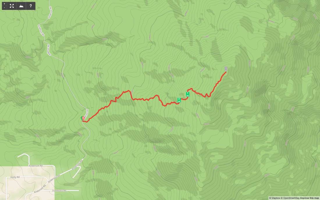
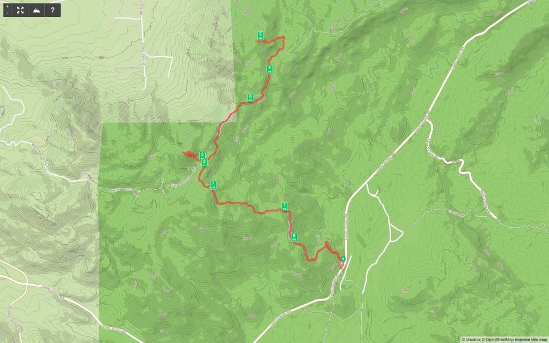
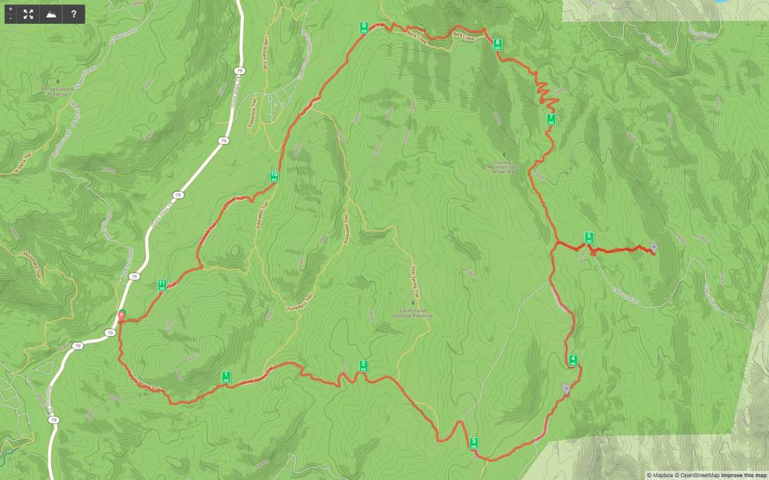
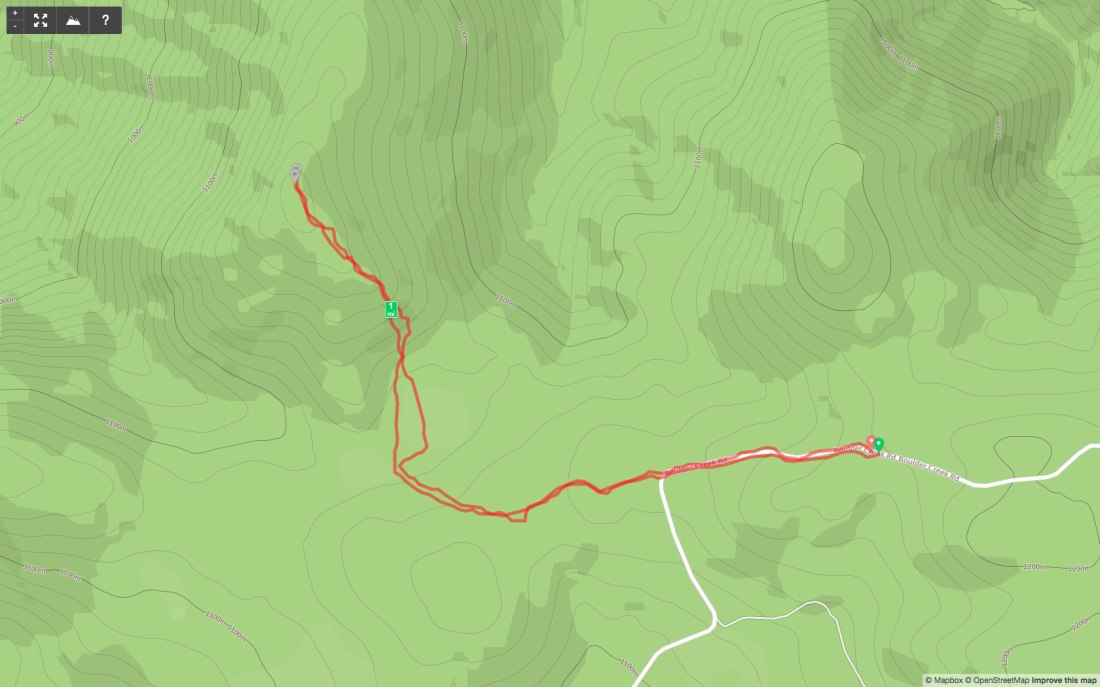
Peak Name: Viejas Mountain
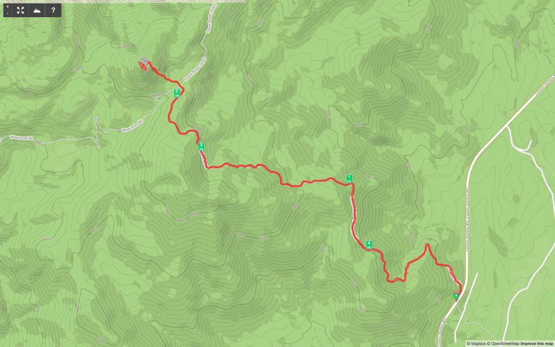
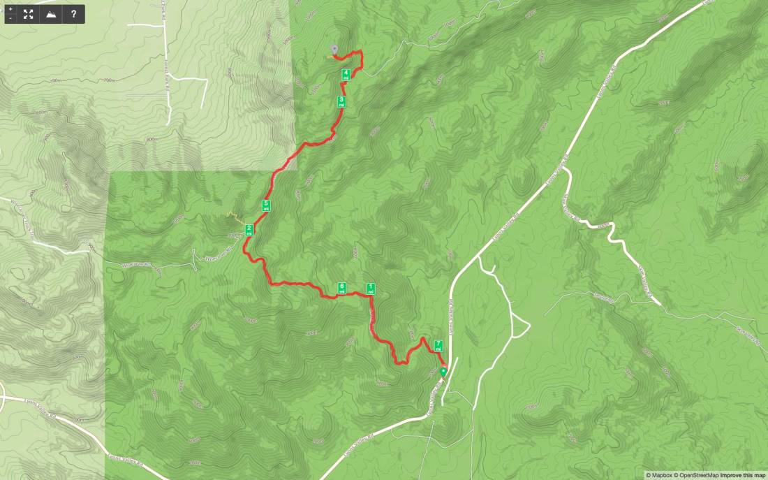
Distance: 2.93 miles
Date: December 17, 2017 (December 15, 2019)
Summit: 4,158 feet
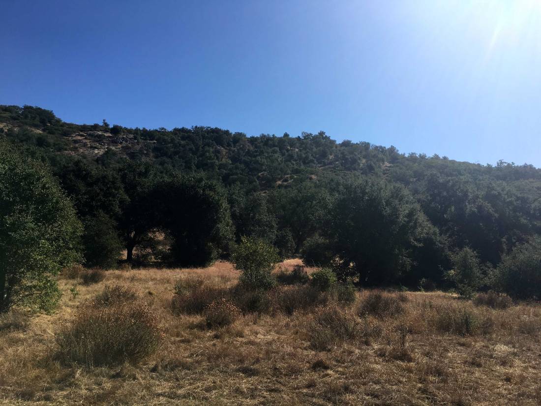
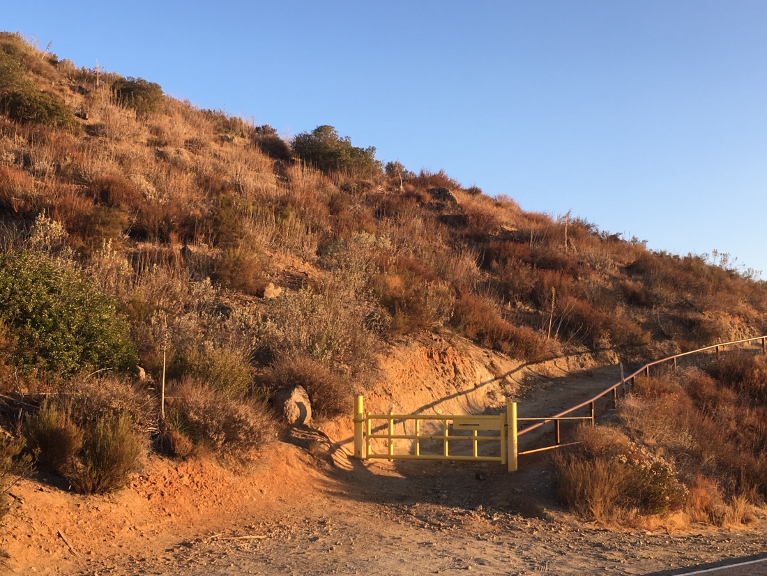
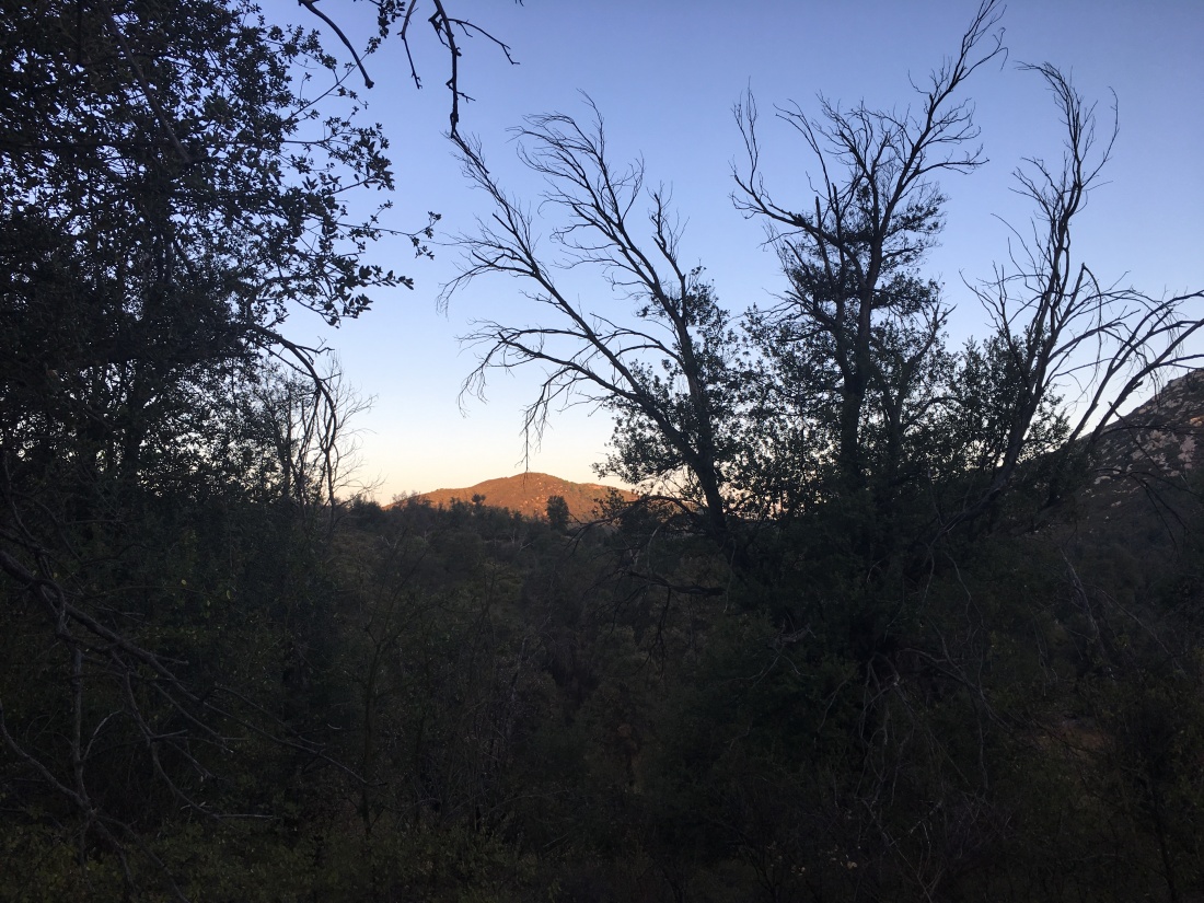
Although I did not make out to Ant Benchmark the day before, I opted to summit Viejas Mountain instead. This peak is just to the west of the casino, so it was an easy drive to the trailhead. Mark and I arrived at the trailhead a bit after sunrise.
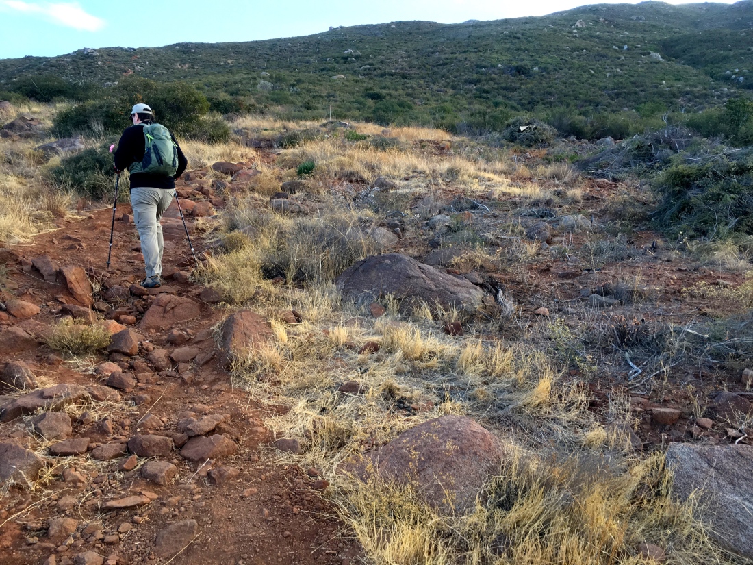
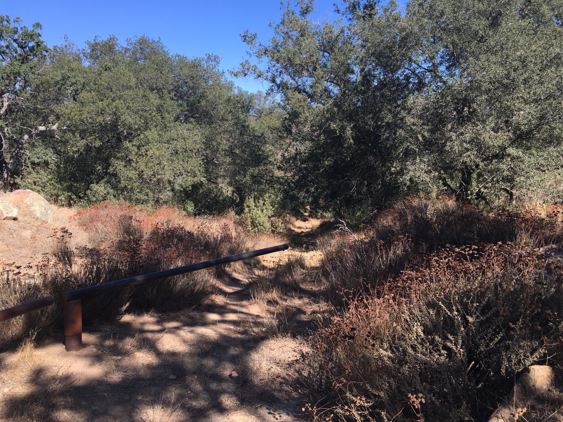
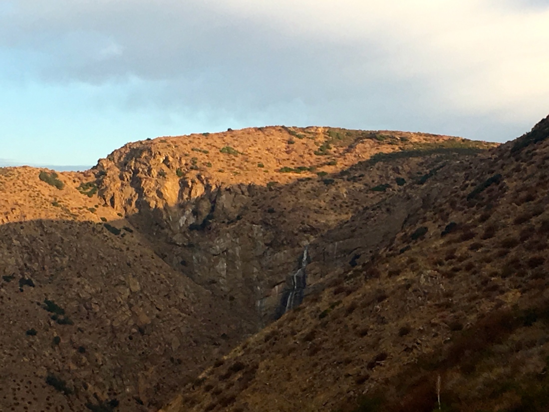
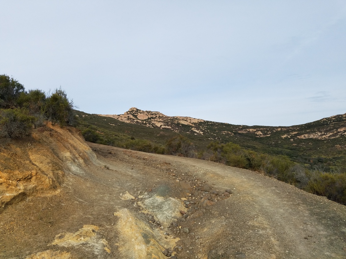
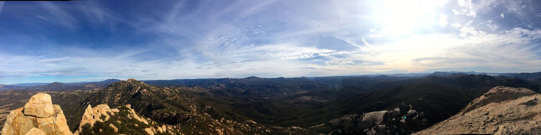
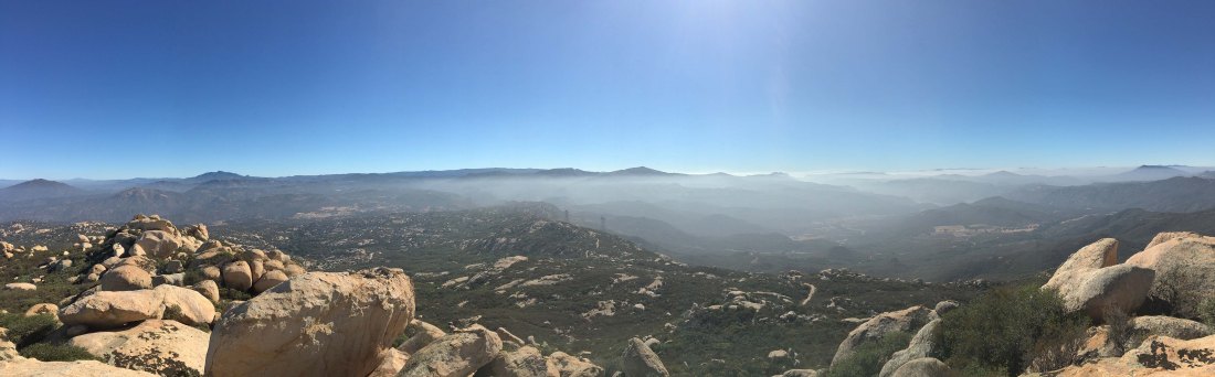
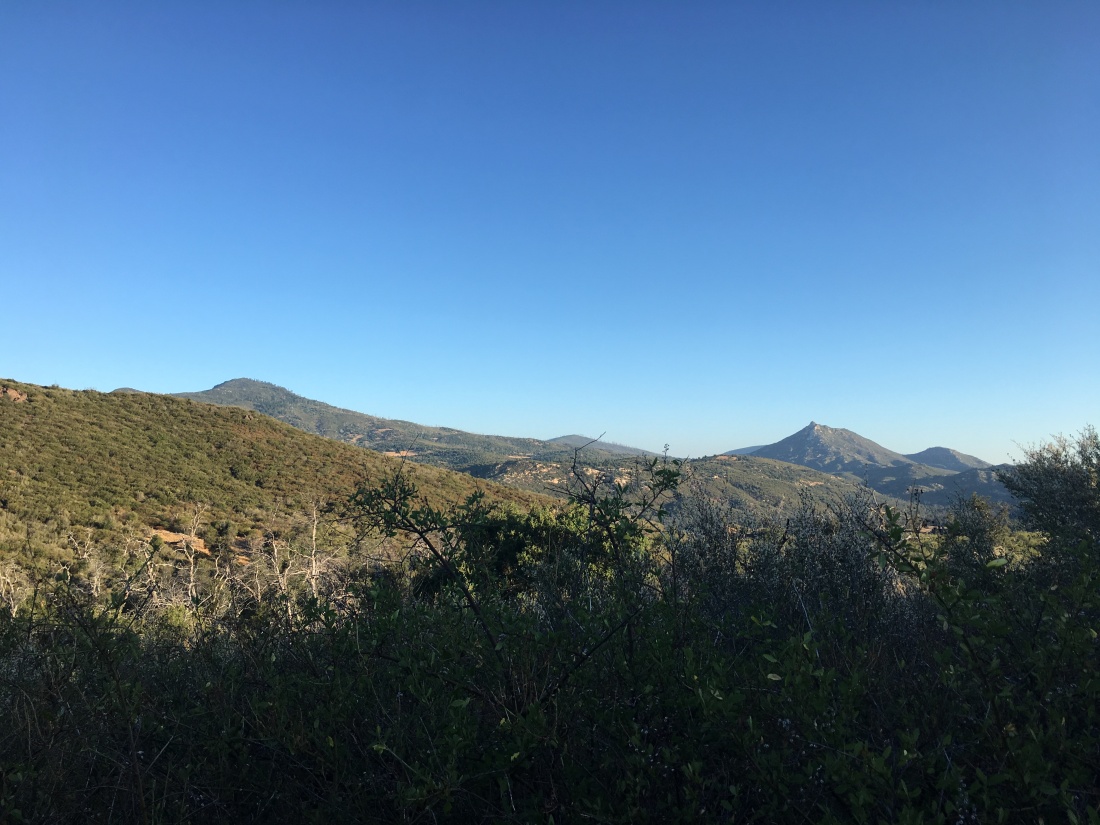
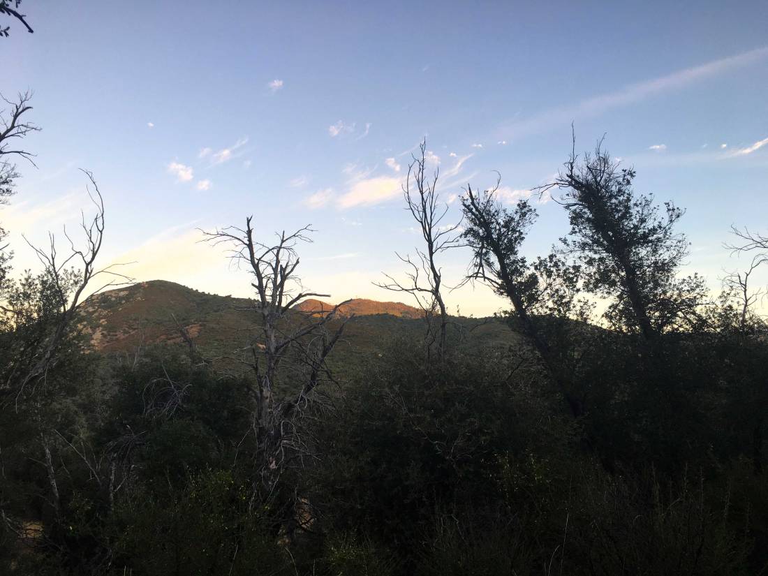
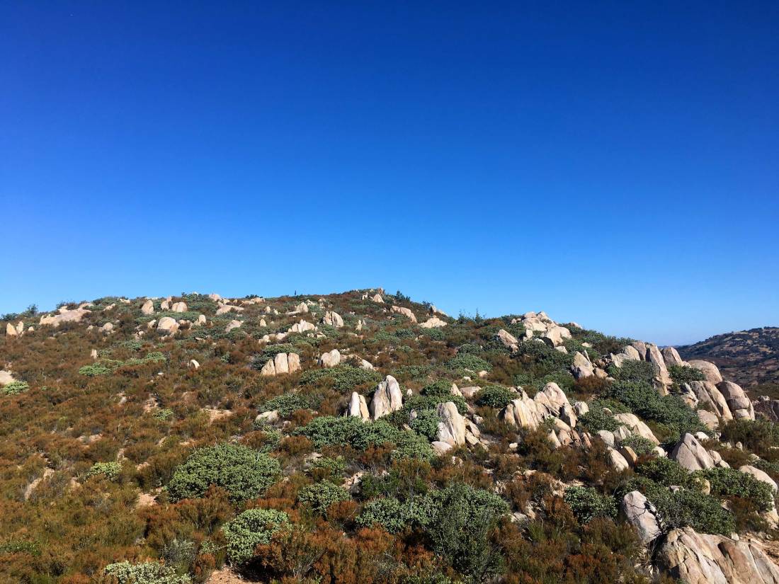
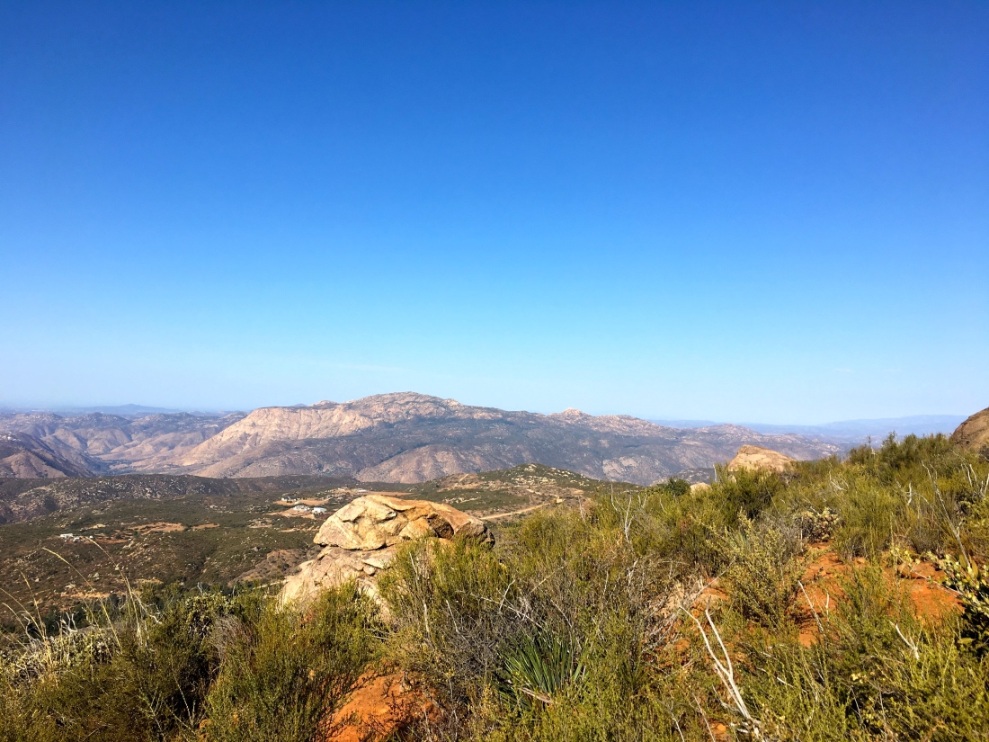
There is no disguising what this hike is, it is just a steady climb upward. It was a cool morning with a bit of a breeze blowing. Soon, we reached the summit and took in the views while we rested. There is a rock wind shelter that has been built, sadly from rocks that used to denote the winter solstice by Kumeyaay Indians.


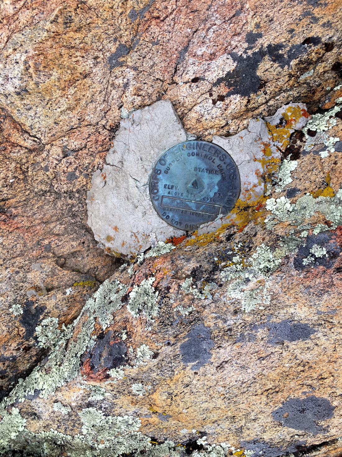
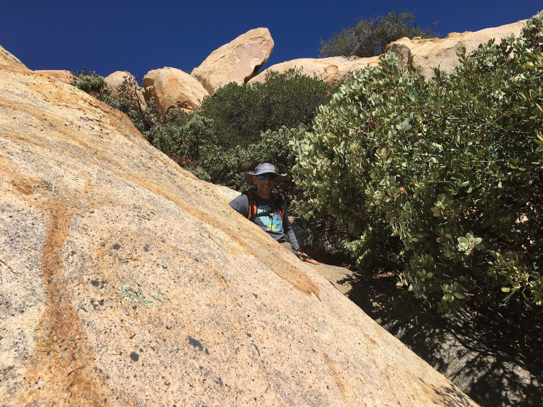
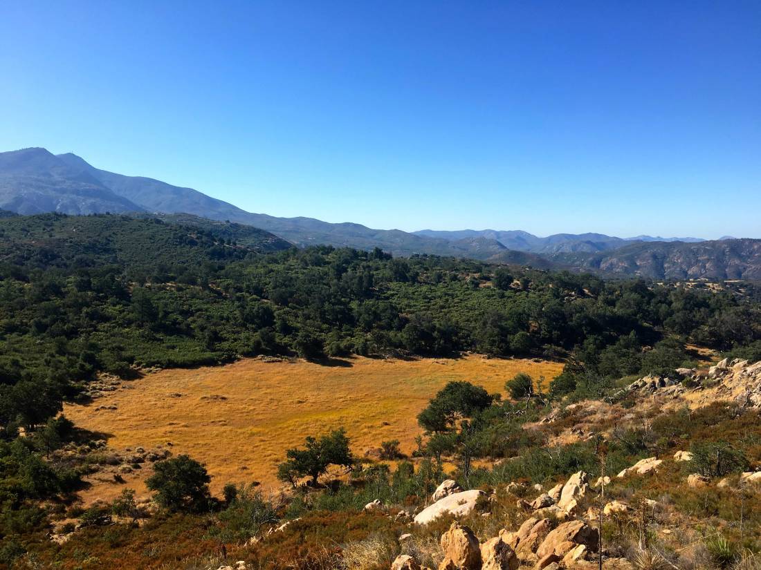
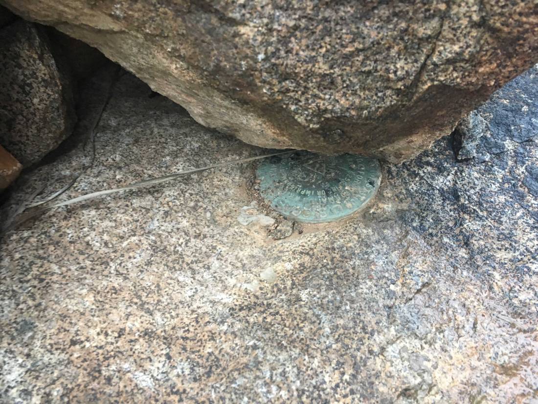
I was able to find two markers, but not the formal benchmark nor a register. A few others had joined us on the summit, and after chatting some, we headed back down the trail. In the distance, El Cajon Mountain beckoned for another day…
Updated: December 15, 2019
Well, the original plan for today was to drive out to Anza-Borrego and summit Indianhead. However, one of my hiking buddies had to back out and the weather was forecasting 20+ mile/hr. winds with gusts up to 35 mph. Not exactly the best conditions to travel across a ridgeline to the summit. Ted and I still held out hope that the forecast might turn, so we kept to the original plan and would make a final decision in the morning.
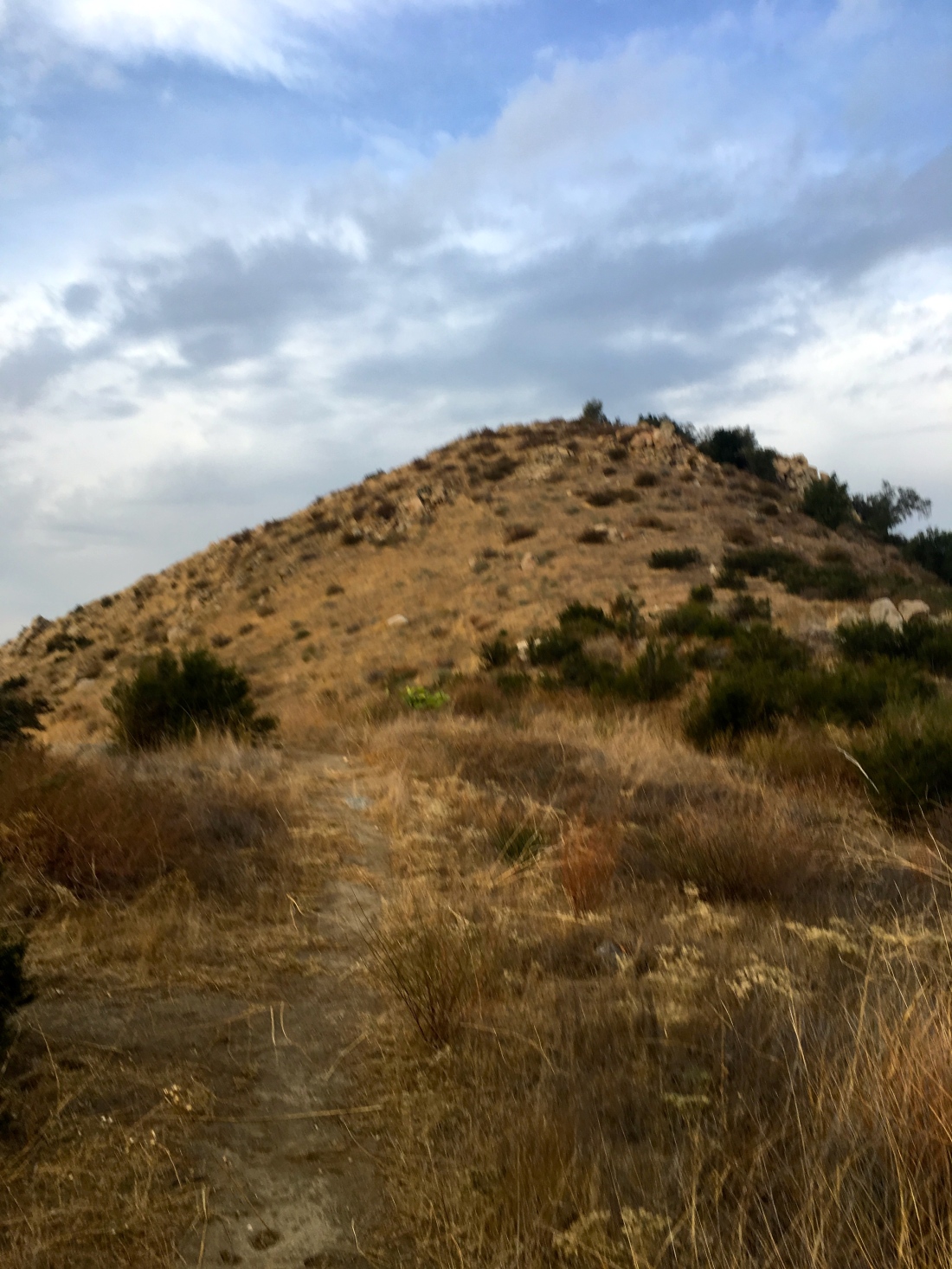
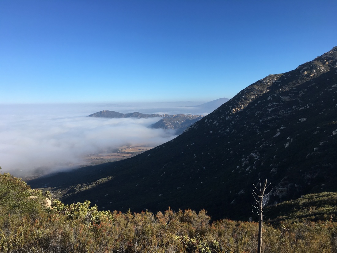
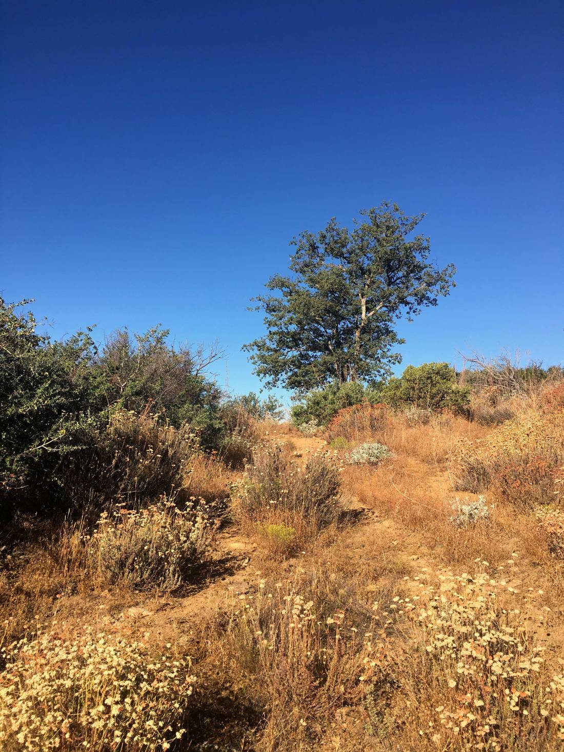
Well, the forecast held, so we went for plan B, Viejas Mountain. This was one of the other remaining peaks I needed to do. It is a short but steep peak. It appeared we got a little bit of rain overnight—another present from the system. As we drove out to Alpine, it was evident that this was going to be a cloudy hike.
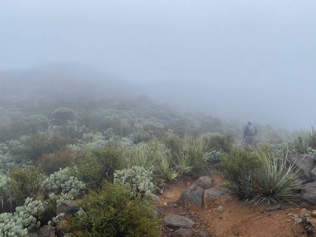
Bundling up against the cold and the wind, we set off in the dark up the rocky trail. It is only about 1.5 miles to the summit, but you do gain about 1,500 feet, so it will give you a workout.
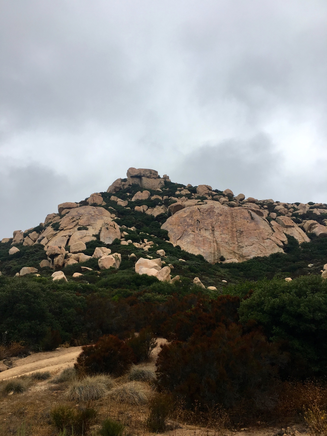
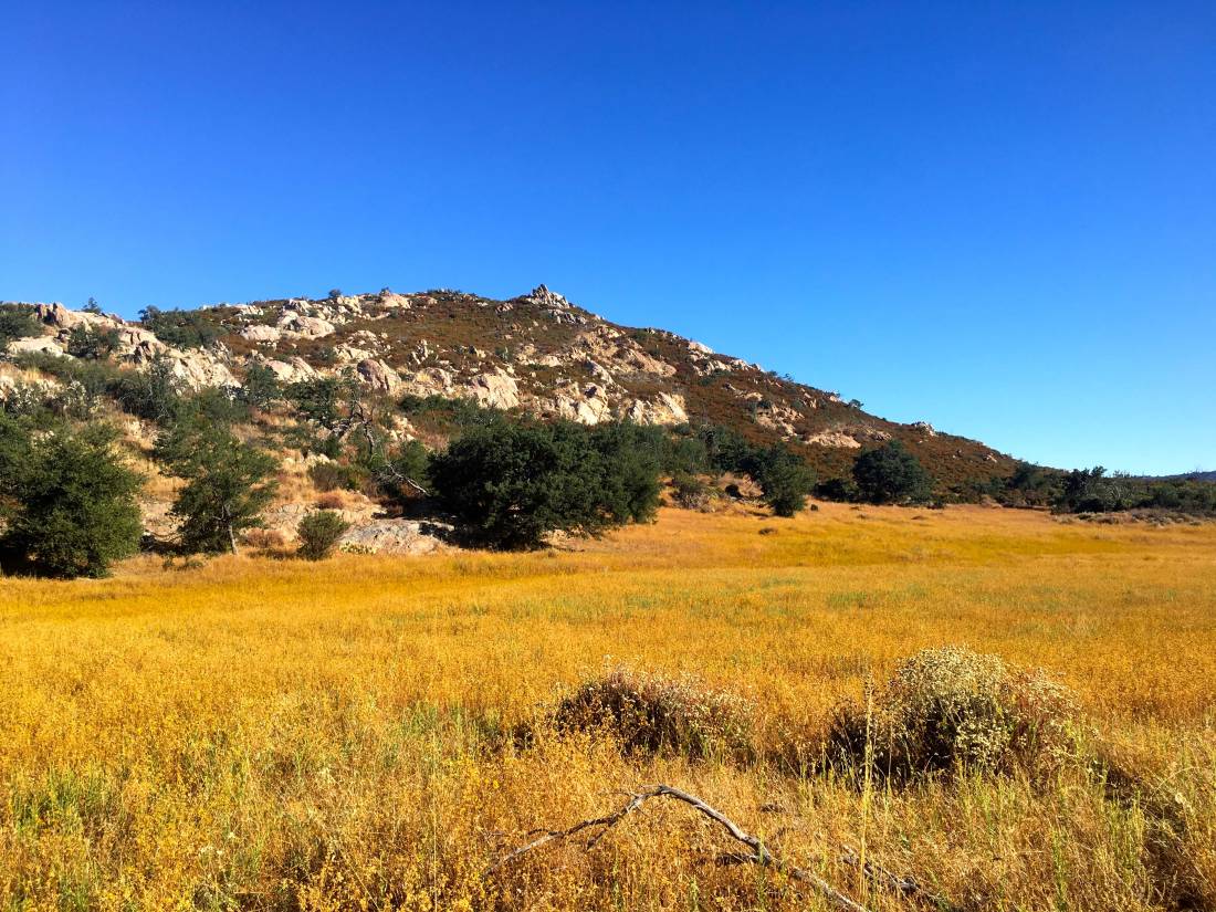
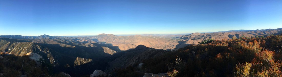
Once we reached the ridge, the wind picked up and our pants were damp from the brush along the trail. The summit was about a quarter-mile to the north. Given the conditions, we knew that we were not going to be staying long.


The register was full, so I did not attempt to sign it. Poking around the wind shelters, I found a reference mark. Pulling up Peakbagger, it denoted one more reference mark and the benchmark itself. Using its map, I first found the other reference mark. Using the arrows on them, I focused on locating the benchmark. There, partially covered by the rocks that make up the wind shelter was the actual benchmark!
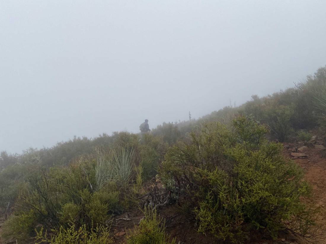
Both Ted and I were getting chilled, so we began our descent. We took our care as we made our way through the mist—no need to slip and turn an ankle. We soon found ourselves back at the car and changed into some dry clothes. Since we made great time up and back, we decided to go grab a hot breakfast in Alpine. That was peak #98 of my #100PeakChallenge!