Peak Name: Peak 1546
Distance: 3.57 miles
Date: December 16, 2017 (November 10, 2019)
Summit: 1,546 feet
As I drove out toward Julian in the predawn light, I was hoping to summit at least three of my planned four peaks today: Peak 1546, Oak Benchmark, and Peak 4159 and Ant Benchmark. I knew the last one was going to be a stretch as I had tickets to The Last Jedi. But the other three are all along the Eagle Peak Road, so I thought they could be bagged together.
First up was Peak 1549. I drove down the dirt road until it ended. I parked the car and under mostly cloudy skies continued down the now overgrown road. This was another inverted hike, so I knew the hard part was the second half…
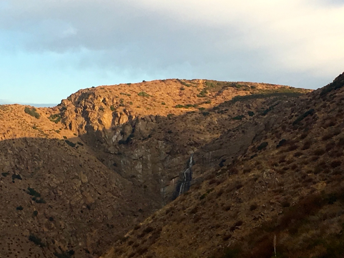
As I strolled down, the sun would illuminate the hills and the dry Mildred Falls to my north.
After about a mile or so, I came to the portion of the hike that requires a permit. This is one of two trails that lead to Cedar Creek Falls. This is a popular destination when the falls are running, but alas there was no water flowing. I can certainly see how the unprepared get themselves into trouble. I opted to be a rebel and continue on, in part, since I was not actually going to the falls themselves. The trail rose again, and soon my destination was in view, a solitary bump just to the west of the trail.
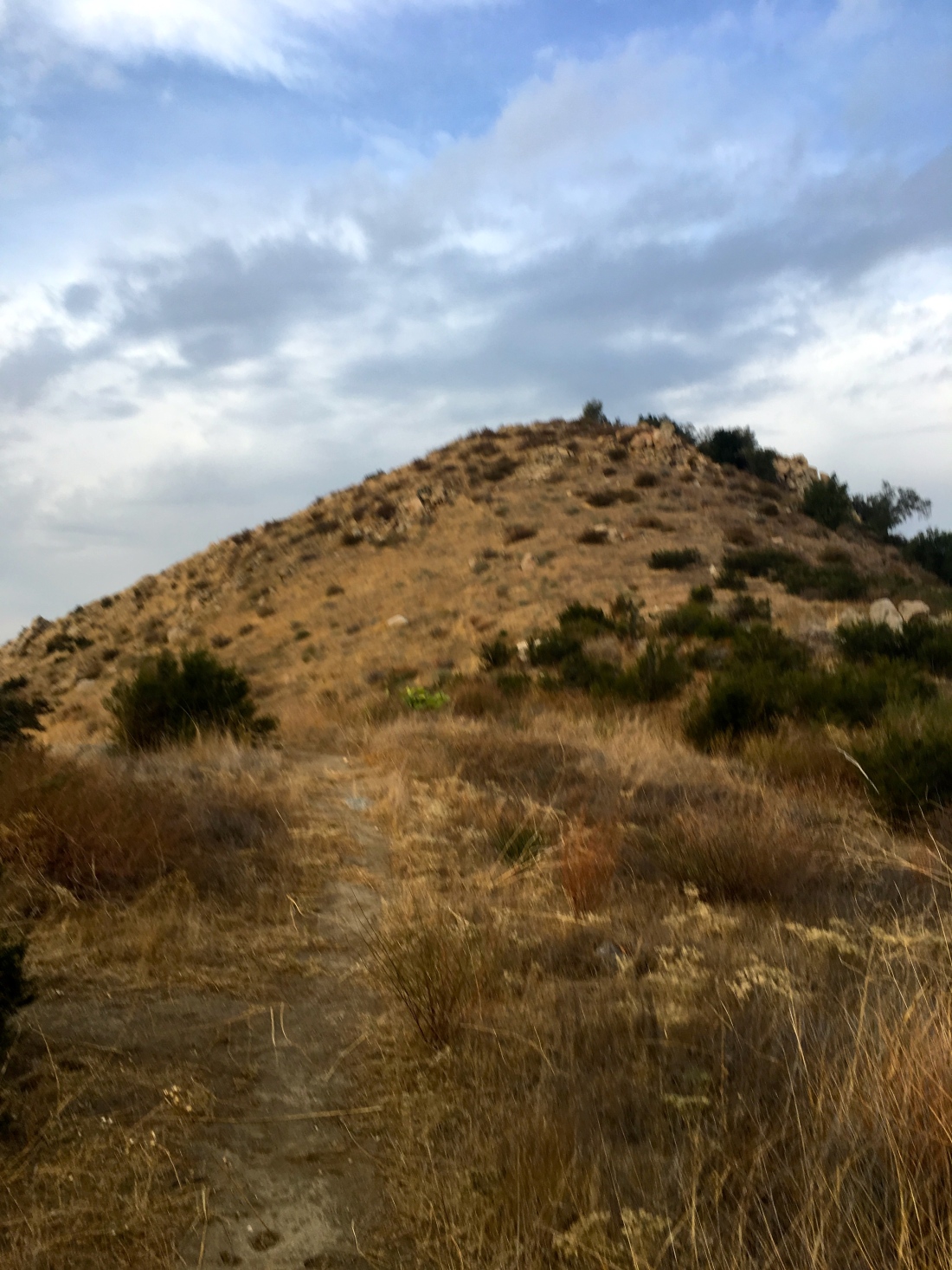
I followed the steep use trail to the summit. There I was rewarded with some incredible views of the San Diego River drainage.


I did not stay long as I had more peaks to summit. I began the climb back up the road to my car, enjoying the cool air. I can imagine what it must feel like in the summer climbing back up…
Just as I reached my car, a light rain began to fall. On the Oak Benchmark!
Updated: November 10, 2019
Today was going to be an attempt at summiting 3 peaks; P1546, Cemetery Hill and Oak Benchmark. All three are located off Eagle Peak road, just west of Julian. Given the forecast, I got an early start to the day. I arrived just after sunrise at the trailhead. P1546 sits just before Cedar Creek Falls.


I would be following the old road down to the junction to the falls. Technically a permit is needed to summit this peak. I decided to be a good citizen and pay my $6.


By starting early, much of the hike is in shade. After about 1.5 miles or so, I reached the base of the peak. I then followed a slightly overgrown trail to the summit.


There is no register nor benchmark, but some nice views are the reward.

I made my way back up to car having bagged my 81st peak.


3 thoughts on “Peak 1546”