Planning…

Well, since I just finished the 100 Peak Challenge, I thought I would offer some guidance to those who might be looking to attempt it in some fashion. I was able to complete it with a combination of luck and planning. Now, I can’t help you with the luck part but I can go into detail about my planning. Two factors that will have the most impact on how you do this challenge are the weather, specifically for those hikes in Anza-Borrego, and the difficulty of the hike. Remember just because the mileage is low, it does not mean those are easy miles (either of the Sombreros come to mind).

When I knew my first attempt at completing this challenge was not going to happen (due to my final peaks all being in the desert and it becoming too warm to safely hike them), I took a look at the peaks I would need to revisit. I grouped the 100 peaks into three categories: desert, in-town and general. The desert hikes were pretty self-explanatory. In-town hikes were any hike that it took less than 1 hour to get to the trailhead. General hikes were all the rest. Since the desert window had closed until the fall for me, I focused on the general hikes on the weekends, and the in-towns were before or after work, or if a full hiking day wasn’t possible. During the first attempt, I did many of these on the weekends. Now that I knew the trail, the difficulty, and was in better shape, I tried not to ‘burn’ precious weekends on them.

Another thing I was able to do was summiting multiple peaks in one day. While some are natural doubles, Lawson and Gaskill for example, once you know where the trailheads are, along with what the trail is truly like, you can start to combine them. For example, Manza Benchmark and Sheephead are about 10 minutes apart by car. But with a nice breather in between, these are doable in a single outing. Another thing I did was to have backup peaks ready to go. Routes loaded on my phone, paper maps printed and extra food and water. Sometimes a peak might not be doable, and/or if you are lucky you might be able to squeeze in a second or a substitute.

If you are starting the challenge now, I would focus on peaks out in Anza-Borrego. For some, desert hiking is scary, and often these peaks have no trail and take more skill than hiking up Iron Mountain or any of the more popular peaks.  Here is what I would recommend cutting your teeth on:

Borrego Mountain – West Butte: Great trail to the top, easy to drive to (you get some intro to dirt driving). 

Ghost Mountain: A good trail to the homestead, then you get to test your navigation skills to the summit.

Mine Benchmark: Once you are ready for some trail-less desert adventures, this short hike is a good one.

Red Hill: The trailhead is right off S-2 and the route is pretty easy to follow.

Once you are more comfortable in the desert you can start in on some of the others, such as:

Sentenac: A bit of canyoning and dry waterfall before reaching the summit.

Piedras Grande: A good intro into some of the terrain on other peaks.

Indian Hill: A good intro into working through larger boulders.

However, Anza-Borrego is also home to some of the tougher peaks on this challenge. Know that there are some that will certainly test you…

For the general peaks, the temperature is still a factor. There were several times I turned back from a summit due to the heat (during my first attempt). Knowing this will factor into your planning. There were many days with sunrises at the trailhead. I would recommend trying to get more of the inland and lower foothill peaks in the spring. One thing about many of the trails is the lack of shade, so you will feel the sun. Good examples of peaks that fit into this category are Mt. Gower, Monserate, and Gutaty. Another factor to be aware of is hunting season. I had to be a bit more aware of my surroundings on some peaks near Julian during deer hunting season.

If you are like me, you probably have done the ‘in-town’ hikes more than once. I tried to find ways to do them differently. Sunset hikes or full moon hikes are good examples of this. Plus, you can get some experience using a headlamp, it will be needed for some of the tougher ones. Also, look for alternate routes, remember it is only the summit that matters, not the trail.

Hope this helps some. Please feel to reach out and ask questions. All my routes are on peakbagger.com, so you can use them as a reference. 


100 Peaks: A recap…

For much of 2019, I have been wandering in the mountains of San Diego, sometimes alone, and sometimes with good friends. I have journeyed to these peaks in an attempt to summit 100 of them within the calendar year. As I approach the end of this journey, I have to pause and reflect upon it. When I am out hiking toward some distant point on a map, to sign some register or photograph a metal disc cemented onto a rock, there is time to think about life, family and friends. I realize that each step I take is a gift and these adventures are not to be taken for granted. Unfortunately, I am now of a certain age where mortality begins to show its unforgiving face. So, instead, I soak in the beauty of the trail, the vistas from the summits, and the companionship of my friends. All these miles have given me a different sense of purpose and passion. I know that this challenge has served as a remedy for me as well. We lost a bright and unique soul in my good friend Mark Kerbel, z”l.

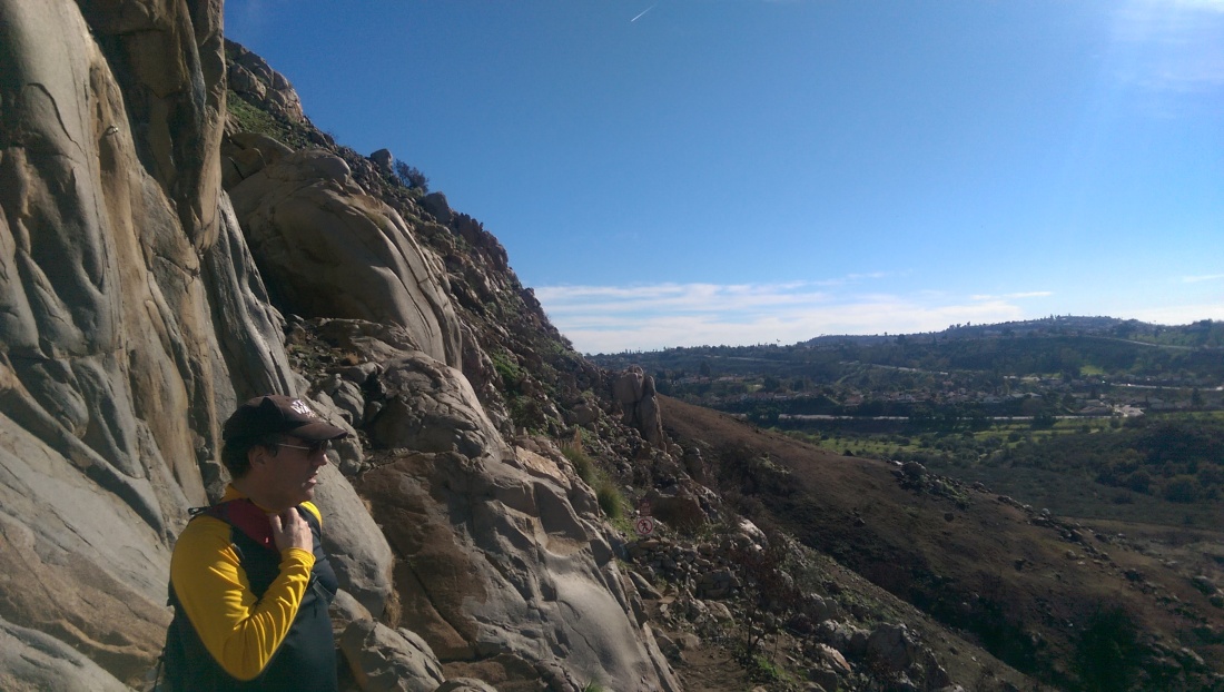
IMAG1000
Mark enjoying the view from the Climber’s Loop in MTRP.

Although I never had the chance to go hiking to one of these peaks with him, I know he would have loved to be there with me. I have dedicated this effort to his memory. 

I do have to personally thank some folks along this journey:

My lovely bride Anita for letting me spend all this time hiking…

Ted Markus for tagging along for so many of these adventures…

Susie Kara, the first finisher of this challenge, and sometimes hiking companion, for giving me so much encouragement throughout the year…

Derek Loranger for creating this challenge…

Greg Gerlach for all his information on peakbagger.com and joining me on some of the big ones…

Lastly, all my friends and family who have suffered through me blabbering on and on about this.

Now that this challenge is complete, here are the stats and my answers to the common questions:

Total Miles Hiked: 512.2

Total Elevation Gained: 138,254 feet

Hours Spent Hiking: 313 hours and 18 minutes

These include the A16 3-Peak Challenge summits as well.

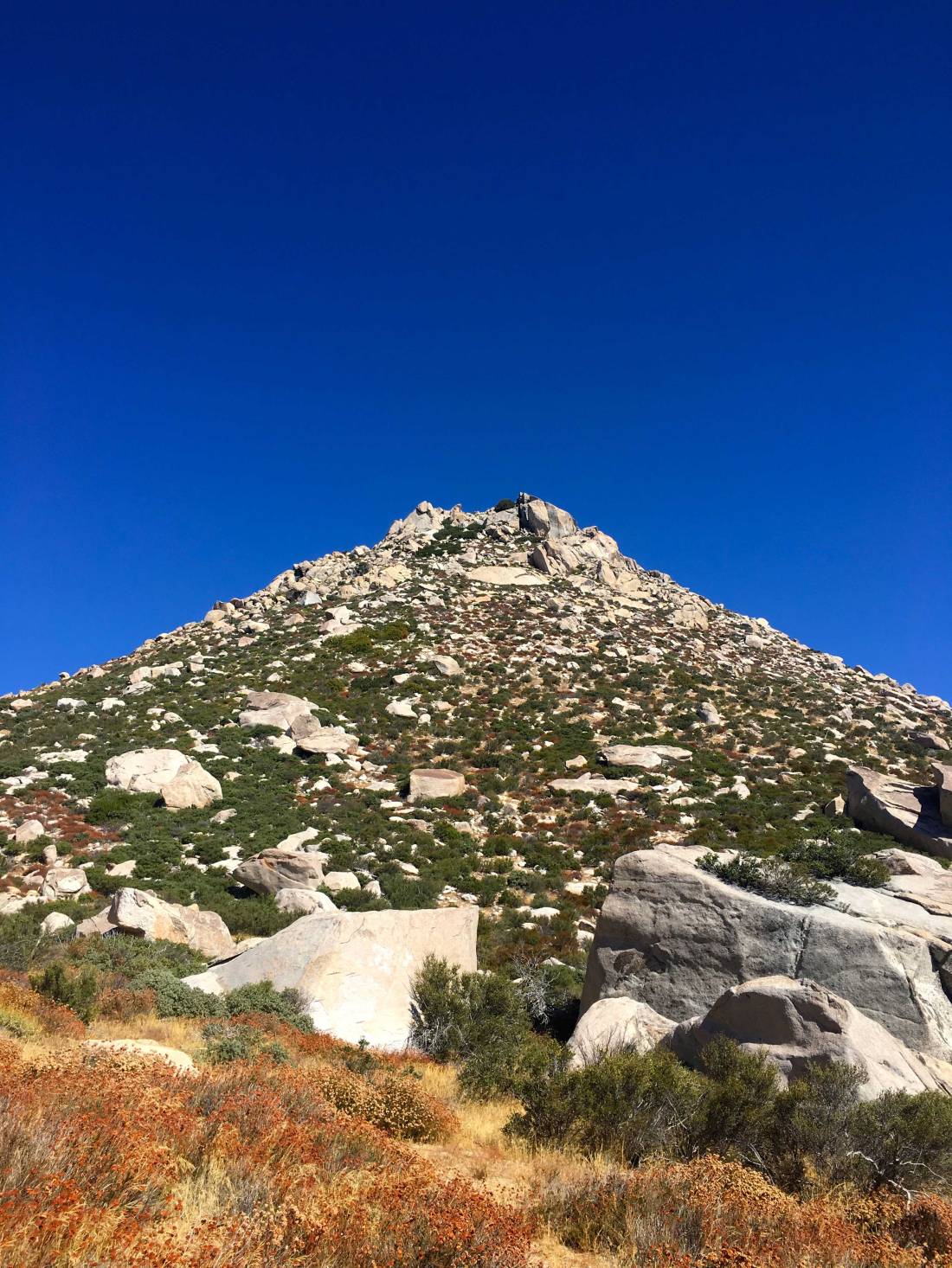
IMG_0167
Square Top

Hardest Hike: Without question Square Top. In our 10+ hours of hiking, we only covered 5.4 miles but gained some 3,300 feet of elevation. There was no trail and some serious bouldering to reach the summit. Ted Markus and Greg Gerlach kept providing encouragement along the entire way. I almost ended my attempt at this challenge on this peak, but I made it to the summit.  

IMG_6585
The Thimble

Proudest Hike: The Thimble! It took three separate attempts to reach this summit. On the first attempt, the rocks were covered in ice, so Susie Kara and I decided it was not safe to attempt it. For the second attempt, Gail Welch and I got close, but an impending rainstorm drove us back down the peak. My third attempt was a solo one, and I thought the brush near the top might block me, but I found a route through to the top.

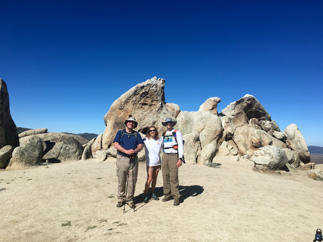
IMG_4163
Eagle Rock

Favorite Hike: Picking a single favorite is almost like picking a favorite child. Each peak was unique and had something memorable about it. I think our July 4th hike to Eagle Rock might be my favorite. Juliet Grossman drove down from Temecula to join Ted Markus and me, and we were able to do this hike as a point to point, rather than the traditional out-and-back from Warner Springs since we had two cars. The section from Montezuma Valley Road to Eagle Rock was one of the most beautiful bits of trail I had been on. A close second was Mile High Mountain. This was a full-day hike, where the four of us started and ended in the dark after covering some 15.8 miles and 6,100 feet of elevation. Unlike Square Top, I had the strength and the will to do it! 

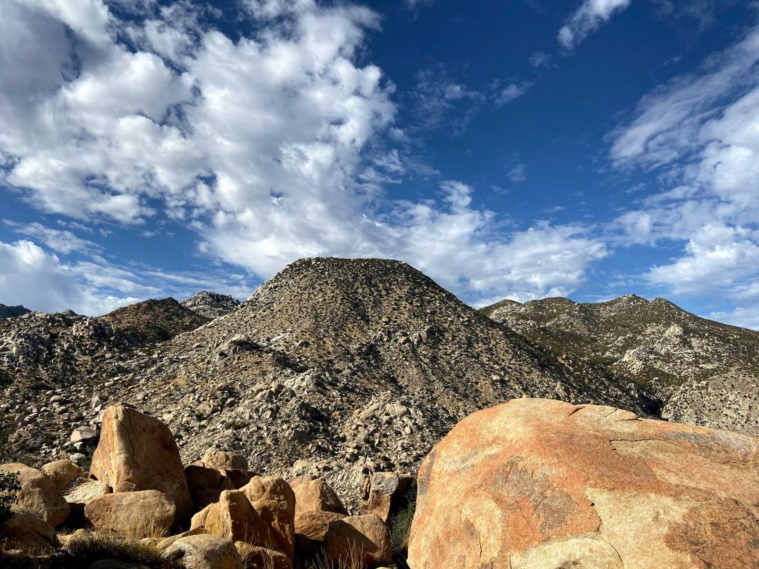
IMG_1149
Mile High from the Villager ridgeline

What’s Next?

Well, the peaks are still calling me… I have signed up for the 6 Peak Challenge. In reality, this will be 12 or more peaks. The challenge just expanded into San Diego, so I will revisit 6 of the peaks I did in 2019. I also hope to summit the challenge’s original 6 as well. I did three of them in 2019 as part of the A16 3 Peak Challenge. 

The 2019-2020 Coast to Crest Challenge will also be on my plate. This will be my third year doing this one. Each year a new set of trails is selected, and I am looking forward to exploring them.

But wait! There’s more! There is another 100 peak list here in San Diego. This one maintained by the Sierra Club. I have 28 peaks left on it, so I will start to pick those off. They are all in the desert, so I hope to get a few in during the early part of the year and some toward the end. That list does not have any crazy time limits on it.

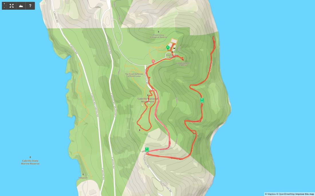
Point Loma (Bayside Trail)

Peak Name: Point Loma
Distance: 2.5 miles
Date: October 16, 2011 (June 13, 2019)
Summit: 423 feet

For most visitors to the Cabrillo National Monument, they will head to the visitor’s center, then the statue of Juan Rodriguez Cabrillo, then eventually make the small climb to view the Old Lighthouse. But as you work your way up the paved road toward the lighthouse, there is a sign pointing indicating the start of the Bayside Trail.

For this ‘peak’, is actually a reverse peak. Derek wanted something along our coast, and this hike, although inverted fit the bill.

Once you reach the turn-off, the trail turns to rocky dirt. A nice bench sits at the top, so that might be a welcome sight upon your return.

The trail works it is way down along the cliff side for 1.6 miles until it ends with a nice view of San Diego Bay. When you are done with the view, you get to hike back up the trail.

ptloma


First steps…

I had been getting bored sea kayaking of late. As much as I love the smell of the ocean, and the lap of water against my boat, the paddling the same waters, again and again, was becoming monotonous. So, I decided to spend a bit more time on the trails. In the early part of 2017, I stumbled on the Anza-Borrego 5 for 50 Challenge. The Anza-Borrego Foundation was celebrating its 50th anniversary by inviting folks to complete 5 hikes throughout the park. So I laced up my boots and headed out. Was able to convince a few friends to tag along for some of them.

I then began looking through my worn copy of Afoot and Afield in San Diego for new places to explore. It was then I learned about Derek’s 100 Peak Challenge. So now armed with a completely insane opportunity, I set out to see what I could accomplish. Now, the ‘official’ challenge is supposed to be in a calendar year, but I am opting to see what I can complete within 365 days (give or take). Plus, some 30+ hikes are all located in Anza-Borrego, so when I started this adventure, the heat made this highly prohibitive. My initial goal was to hit 50 by year’s end (Spoiler: I did ). I am going to use this blog, to serve as my hiking register for this challenge. So, lace up the boats, grab your poles and let’s summit a peak!