High Point Lookout

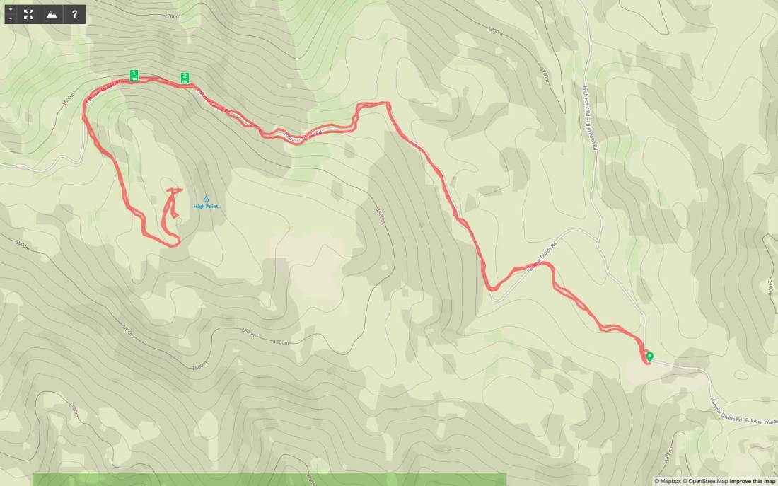
Peak Name: High Point Lookout
Distance: 2.93 miles
Date: September 9, 2018
Summit: 6,135 feet

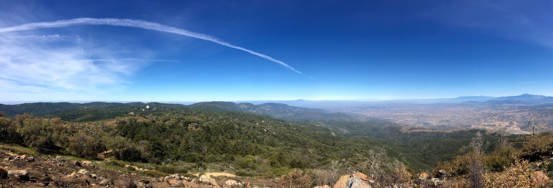
Since it was still too hot to consider any of my remaining peaks out in Anza-Borrego proper, we decided to tackle Palomar High Point. Although I still want to hike it from Oak Grove, we opted to drive up the Palomar Divide Trail part way, then hike to the lookout.

img_0003

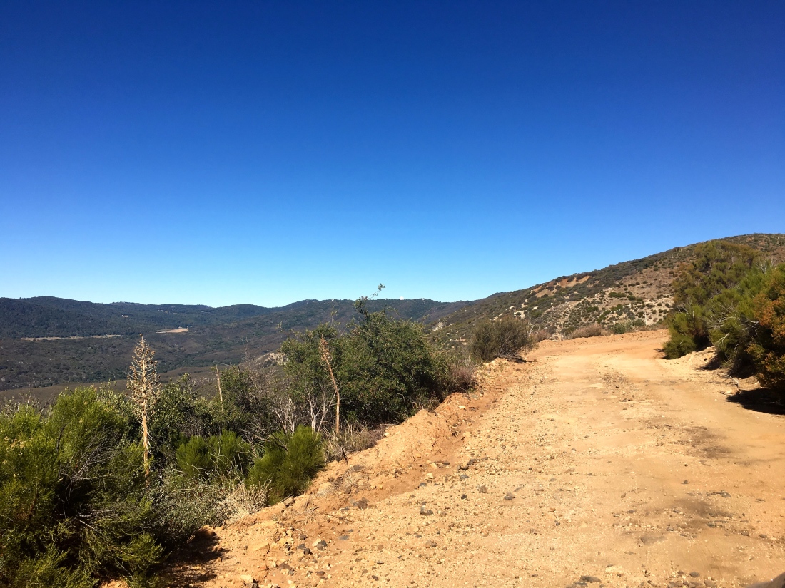
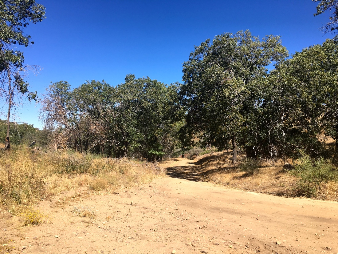
We drove the dirt road without incident, meeting one car coming down. Parking the car at a nice turnout, we started up the road under the shade of the trees. Soon, three trucks passed us heading back down from the summit.

IMG_0007.jpg

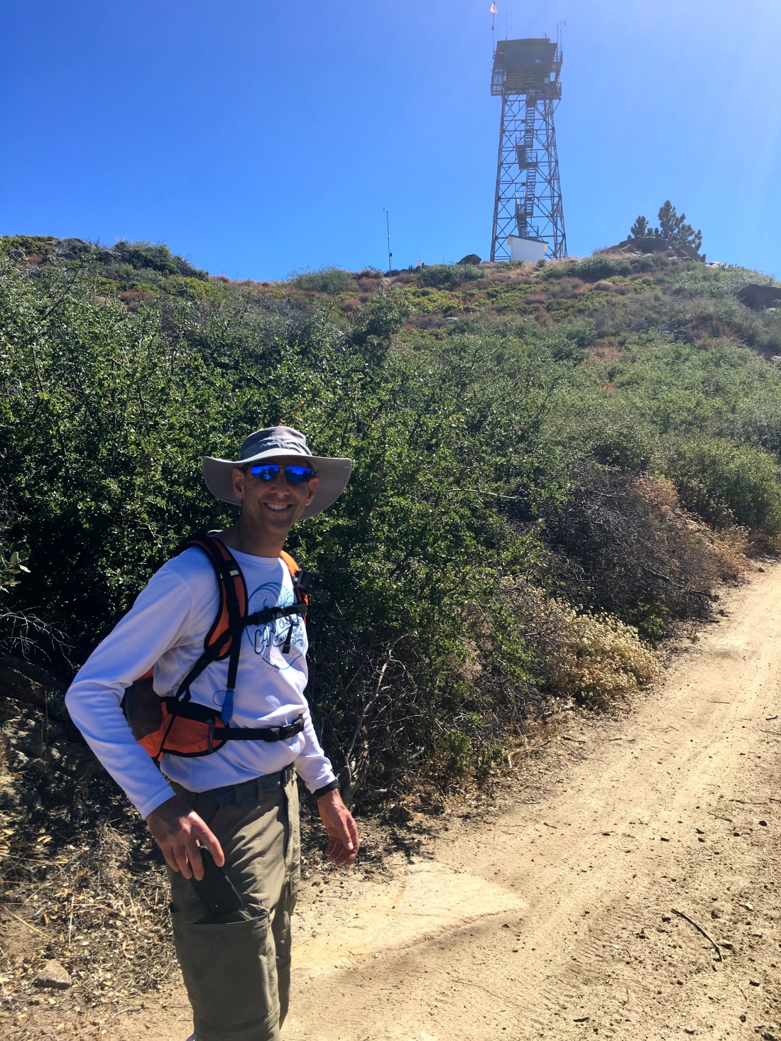
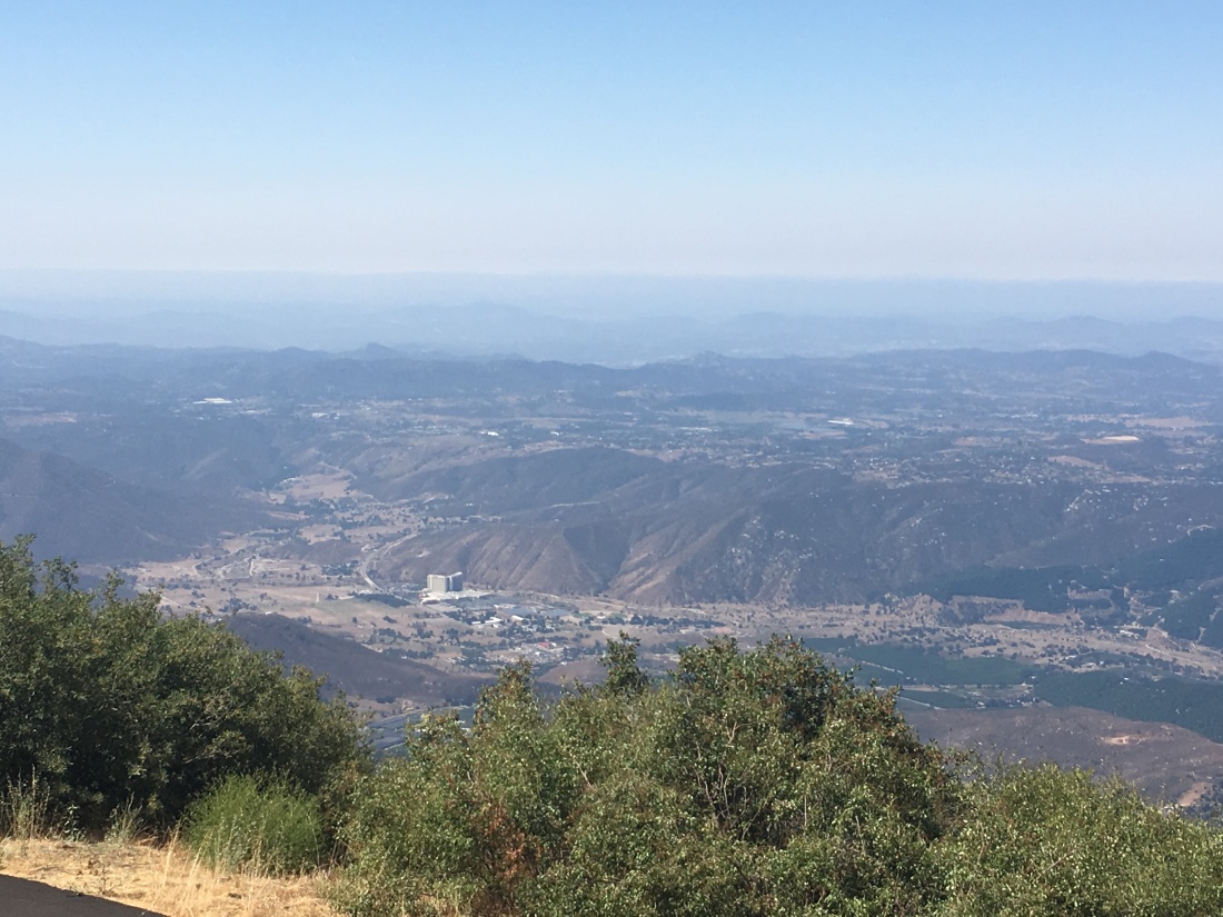
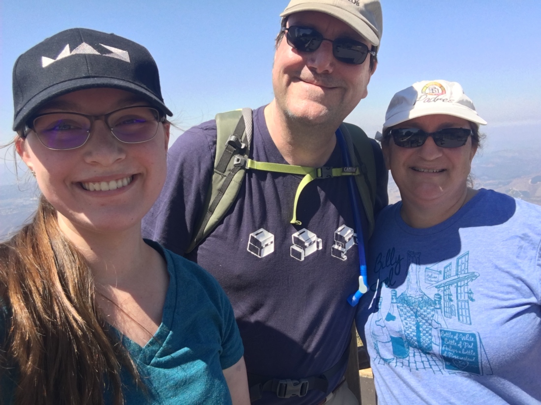
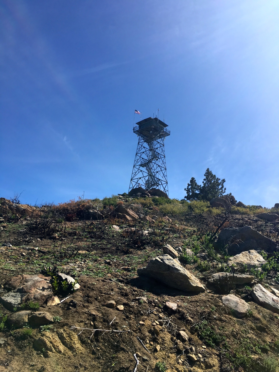
After about a mile and a half, we reached the summit. The lookout tower is not open to the public. We wandered around the grounds some before heading back down.

In two weeks, Ted and I would be attempting to summit Half Dome, so we spent much of the time discussing our plans.

img_0027

We quickly found ourselves back at the car and off to lunch after the drive back down.

UPDATE – MAY 5, 2019

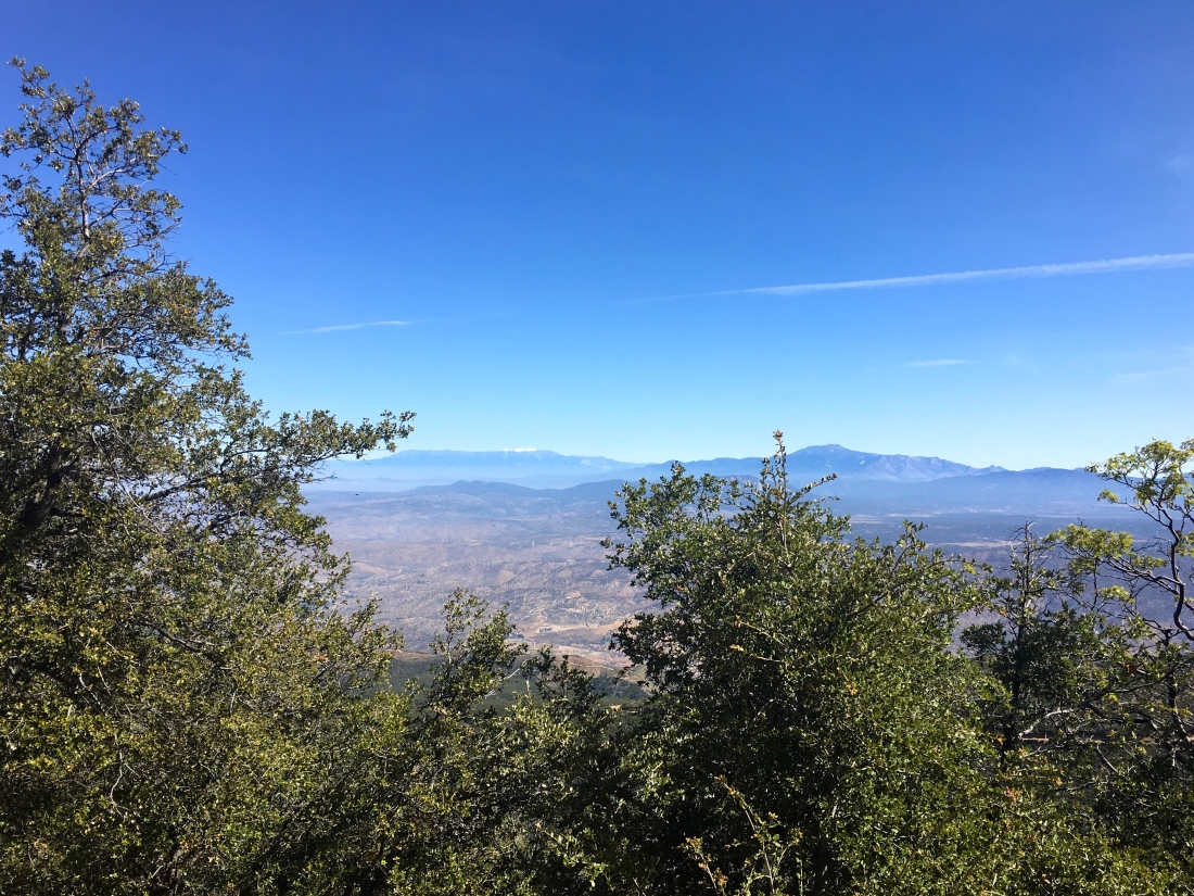
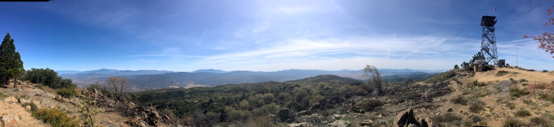
We had planned to attempt to summit Square Top via the Los Coyotes Indian Reservation. Unfortunately, they are no longer allowing access to the trailhead. So, Gail needed to complete her summit of Palomar High Point, so since we had a capable car, along the Palomar Divide Trail we went. We parked at the same spot as before and worked our way to the lookout tower. This time the mountains to the north still gleamed with snow.

IMG_2944

The area directly around the tower had been burned, most likely due to controlled fire.

IMG_2947

We took a few photos, then headed back down to the car and off to the next hike. We debated between Combs Peak, which was to the north-west of us or Eagle Rock?

IMG_2959
Looking northward
IMG_2949
Looking east

Once we reached the main road, we decided to go summit Combs Peak again, so off went!

palomar-higjh-point

Boucher Hill

Peak Name: Boucher Hill
Distance: 4.1 miles
Date: August 6, 2017 (July 27, 2019)
Summit: 5,420 feet

This was a nice simple hike with my wife and daughter. Although you can drive to the lookout tower, we decided to start from the parking lot before the turn off to Doane Valley. The trail works its way up gently through the forest before reaching the fire lookout tower.

IMG_4695

The tower was manned this day, so we had a lovely chat with the volunteer. Visiting a lookout tower reminded me so much of my childhood, as we would often head in the high Sierras near my parent’s cabin, stopping off at Tobias Peak to visit, and sometimes make the hike out to Baker Point as well.

IMG_4701

Afterwards, we continued the loop towards Scott’s Cabin. We passed through the still green meadows, and towering pines.

IMG_4719

Update: July 27, 2019

With my foot not at 100% and the high temperatures, I opted for Boucher Hill. I had considered doing it as a two-fee with Volcan Mountain but did not want to attempt that much mileage. I parked at the Silvercrest picnic spot and headed down the road to the trailhead. A nice breeze kept me cool as even at 8am, it was starting to warm up. The trail gently works its way for about a mile until it reaches the lookout tower. The marine layer hugged the coast, but otherwise, the views were lovely. I could see Mt. Baldy and San G. In the distance.

After chatting with the volunteers for a bit, I headed back down the trail to the car. I debated doing the full loop but did not want to push my foot yet.

Once I got back to the car, the temperature was already 80. Glad I hit it early.